

Whilst walking a few days ago we spotted a group of walkers on a path at the back of Stainforth and Lynnie enquired if we had ever walked that route. Surprisingly in all our visits it is a path we have never explored so today we are going to venture along it.
The starting point for our walk is the Yorkshire Dales National Park in Stainforth (BD24 9PQ; OS Grid Ref SD817673; What3Words ///loom.motels.emperor). Leaving the car park we turn right into the village and then at a junction turn left on a road signposted to Halton Gill and Arncliffe, as this road bends to the right we continue straight along a lane with a finger post pointing to Moor Head Lane.
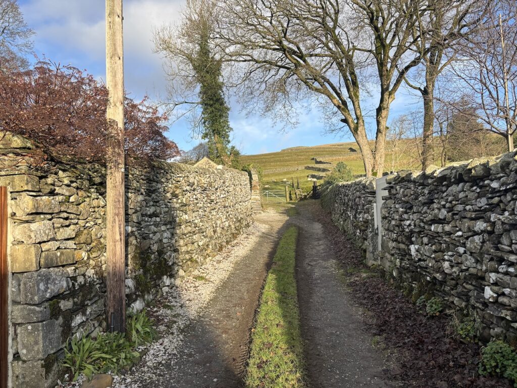
On reaching a gate with a ladder stile beside it we enter a field and after 100 metres fork to the right to follow a well-worn path uphill through a medieval field system.
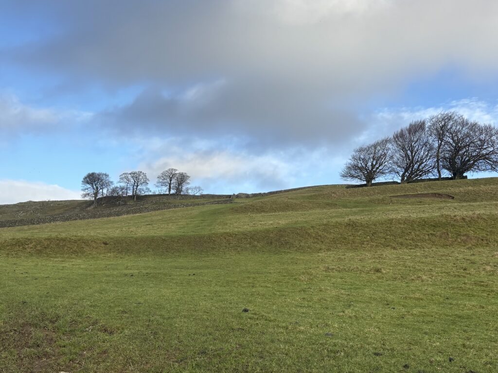
It is a steady ascent to a wall stile and then we continue uphill to another wall stile which we cross to enter an area where trees have been planted around How Beck.
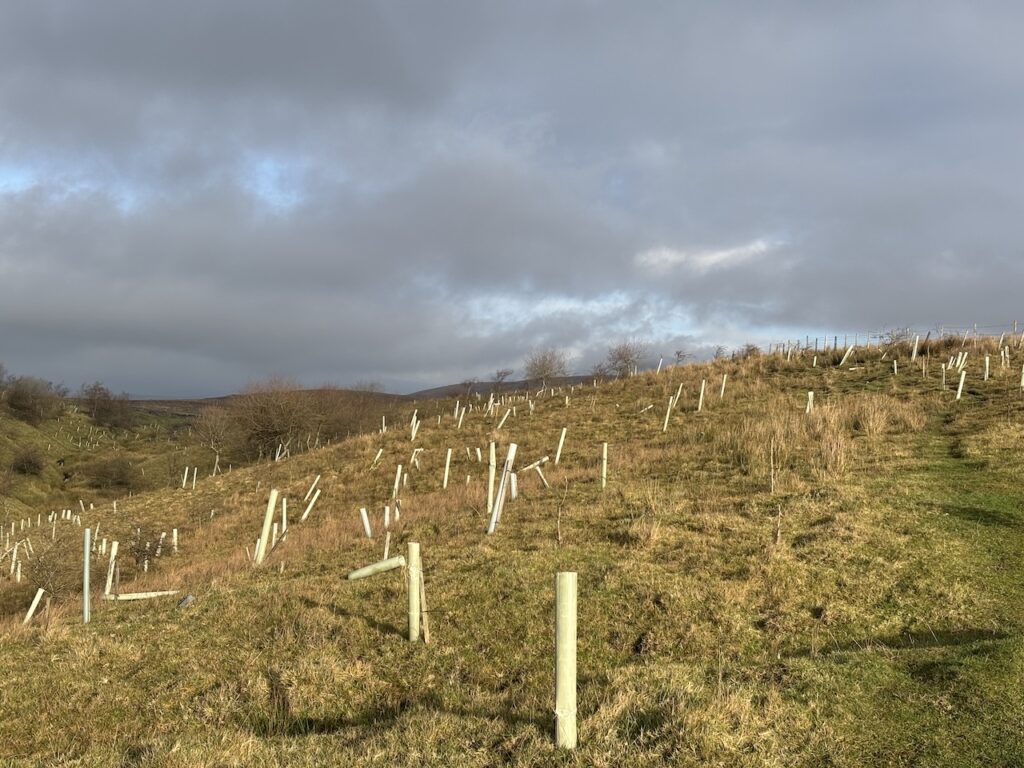
Following the well used path through the trees, many of which seem to be struggling in the harsh conditions, we reach a gate.
Through the gate we follow the way marked path as it crosses wall stiles over the rough pasture moorland.
This is a well defined, easy to follow route crossing more wall stiles on its way to Moor Head Lane.
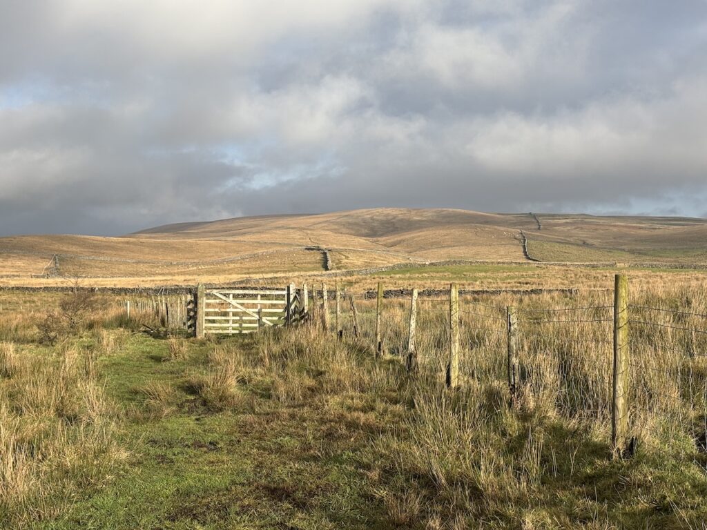
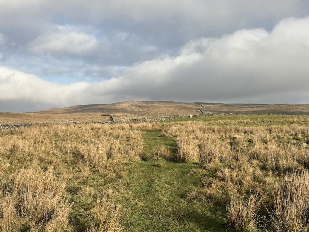
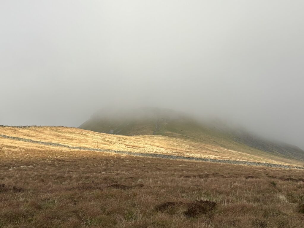
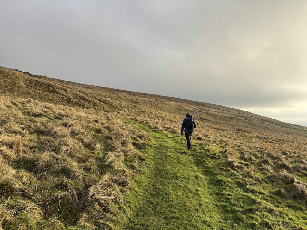
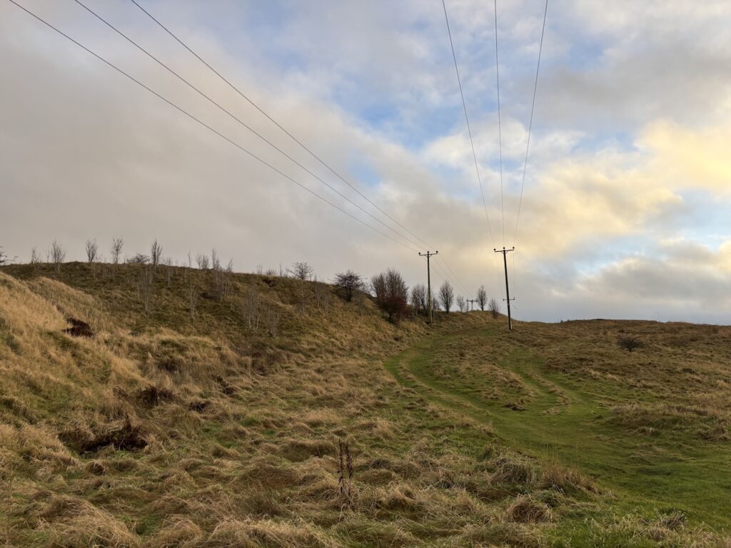
On reaching Moor Head Lane we cross to continue over the moor. Initially this path is not so well defined but in the clear weather conditions it is easy to follow up on to Great Moor Head.
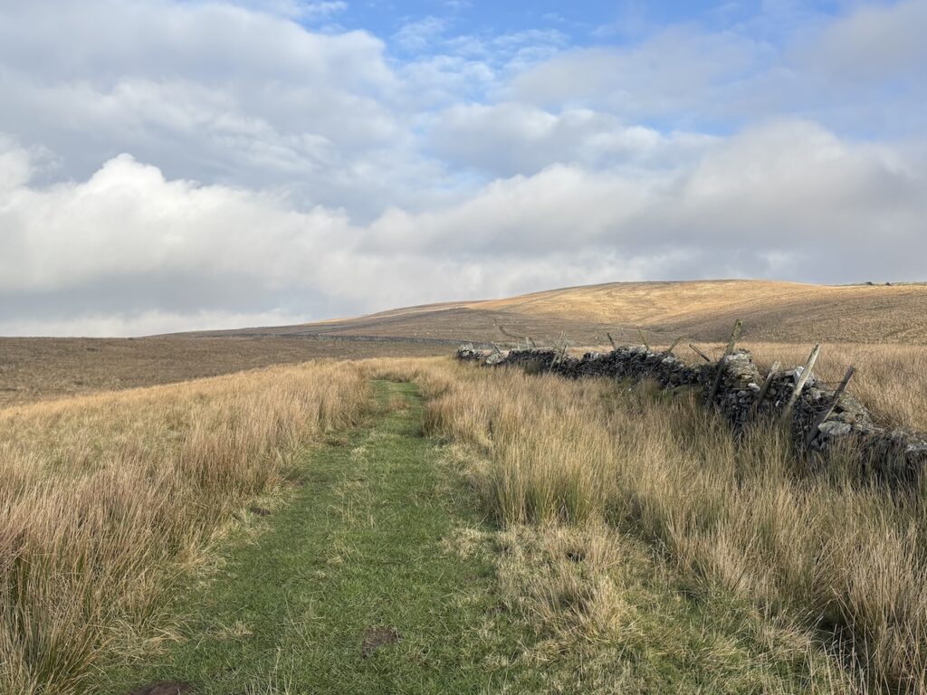
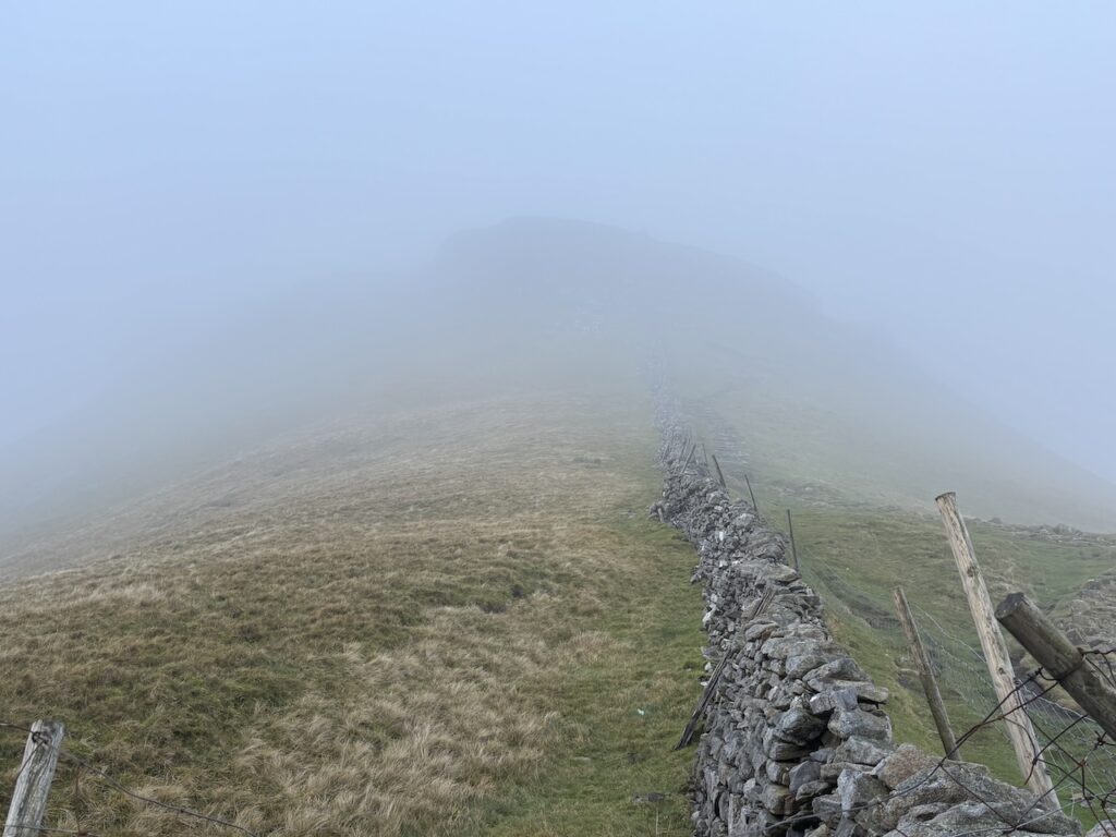
We stay with the path heading across the moor to join a drystone wall. It is a cracking day and there are some stunning views. Out to our left are the quarries at Helwith Bridge.
Keeping the wall to our left we head through an area of shake holes. There is the odd damp patch, but the route is less boggy than I had anticipated.
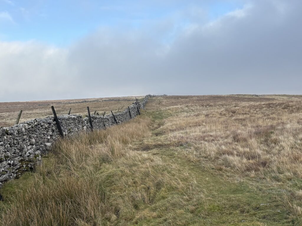
After crossing a ladder stile we continue heading north now with the wall to our right.
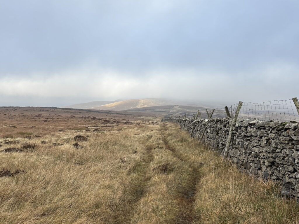
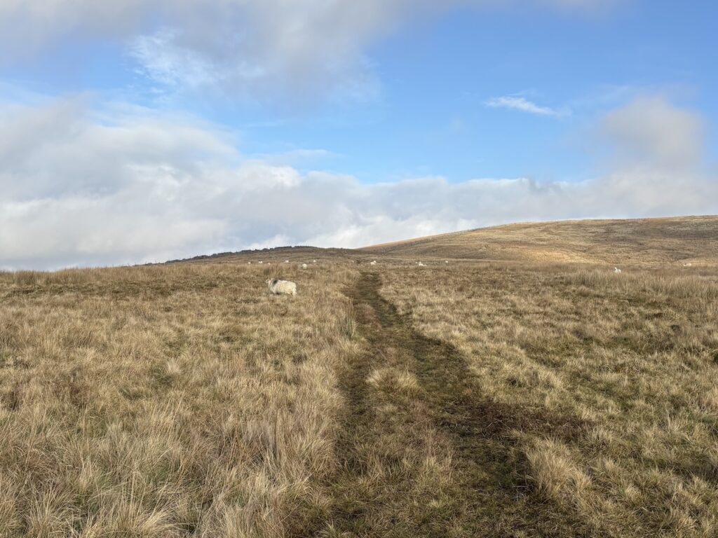
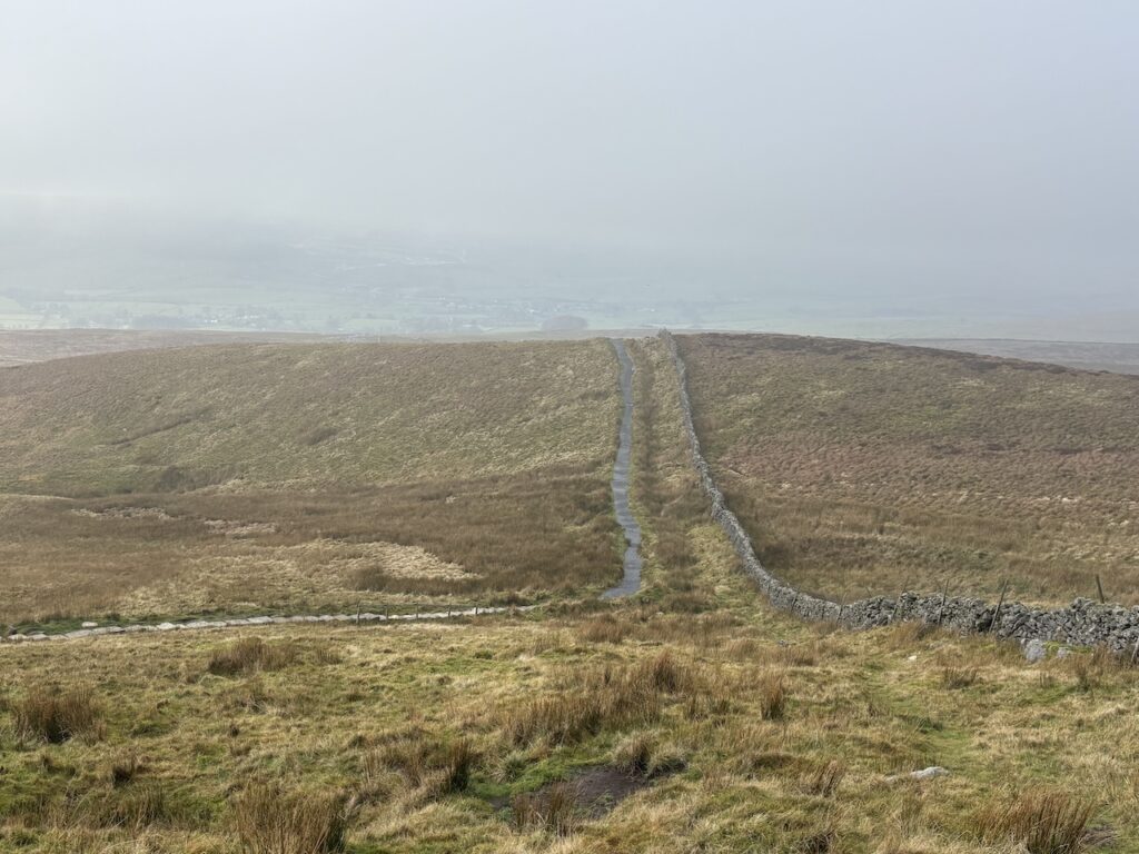
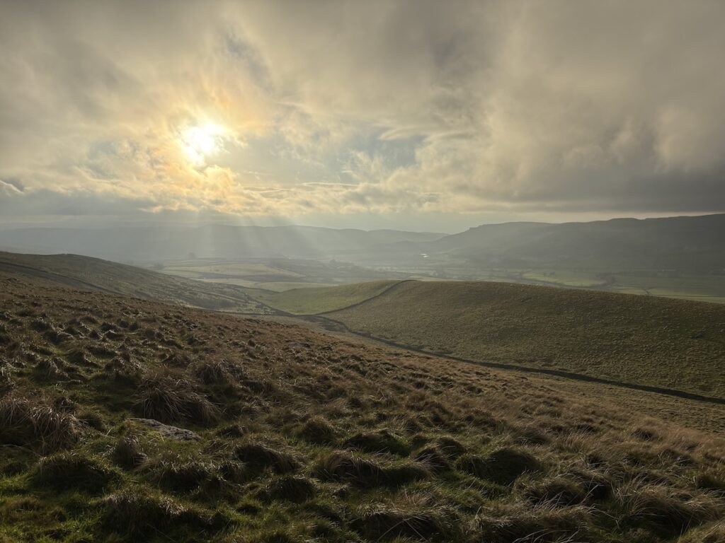
Just over 2.5km from Moor Head Lane we reach another track, Long Lane, and turn right. Despite the low cloud there are good views towards Foxup.
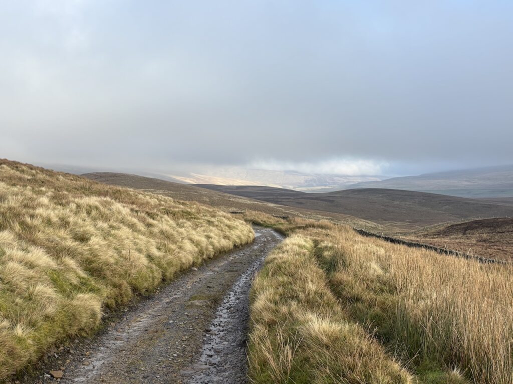
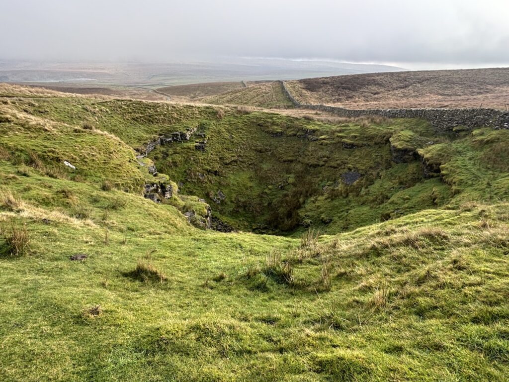
This path gradually descends to reach a junction with the Pennine Way at Churn Milk Hole, a very large sink hole.
We now turn left to join the Pennine Way as it heads up towards Pen-y-Ghent. Lynnie is starting to get concerned, I had told her that we were skirting this peak but it is getting ominously close.
We cross a wall stile and continue ascending towards Pen-y-Ghent, but just before the steep climb to the summit we turn through a gate on the route of the Yorkshire Three Peaks path to head towards Horton-in Ribblesdale.
We descend on the well constructed path which has been put in place to deal with the heavy footfall from the estimated 100,000 people each year tackling the Yorkshire Three Peaks challenge.
There has been a keen wind coming from the east for most of our walk, so when we get to the relative shelter of Brackenbottom Scar we stop amongst the limestone crags for our lunch and take in the view.
Refreshed we continue downhill on a newly installed section of stone slab steps.. Until recently this area had been a wide mud path, hopefully the clear path will encourage walkers to stick to it and limit the damage to the surrounding environment.
On reaching a lane at Brackenbottom we turn left to pass through the hamlet.
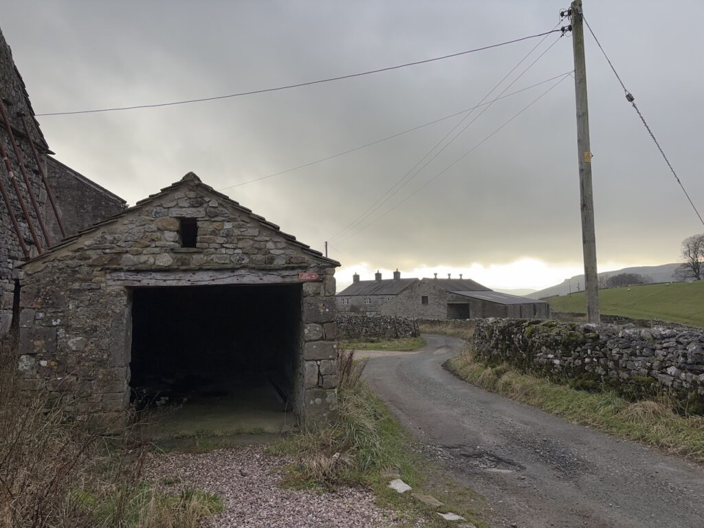
After 400 metres on the tarmac lane we reach a junction and turn left to follow a lane towards Dub Cote. In 500 metres we reach Dub Cote and turn left on a track that goes alongside a converted barn and farmhouse.
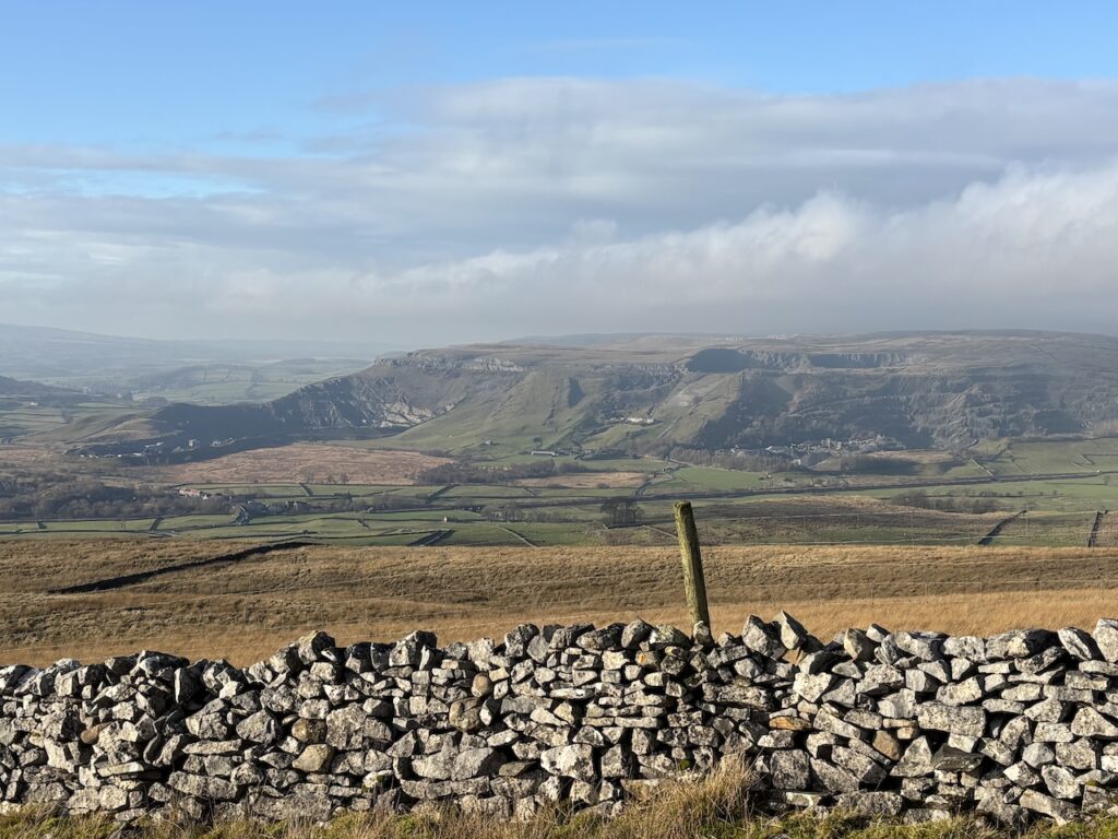
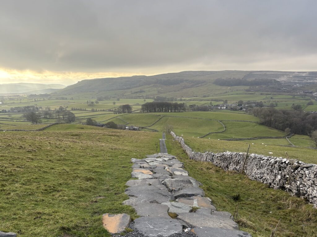
After the farm the uphill track reaches two gates, the footpath goes through the one on the right and continues up through a field to reach a ladder stile by another gate. There is a fine view along the dale from here.
We are following a clear grass path through the rough pasture leading diagonally across the field towards Long Lane.
Crossing a broken down stone wall we turn right on Long Lane and start to descend.
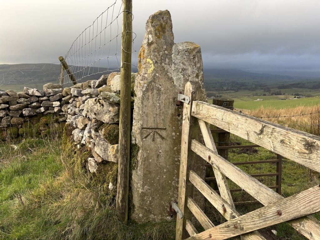
Passing through a gate we spot an Ordnance Survey benchmark. This would have once been used by the OS in surveying the surrounding countryside.
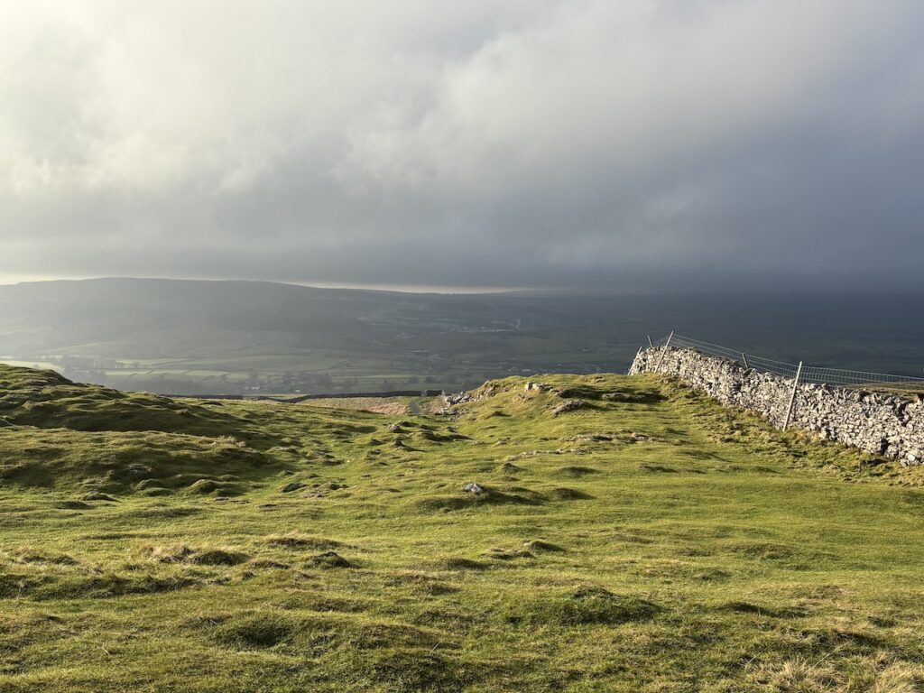
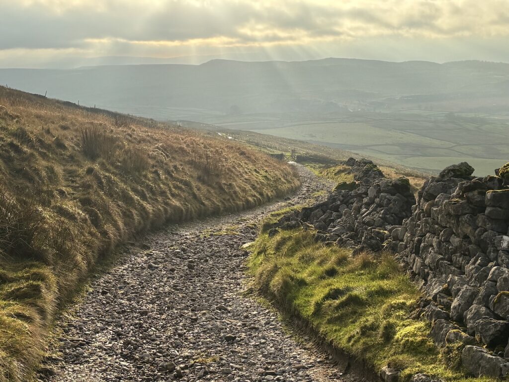
We stay on this track for 3km as it descends towards the B6479 at Helwith Bridge. It is a pleasant afternoon and as we descend we admire the beauty of the surrounding countryside.
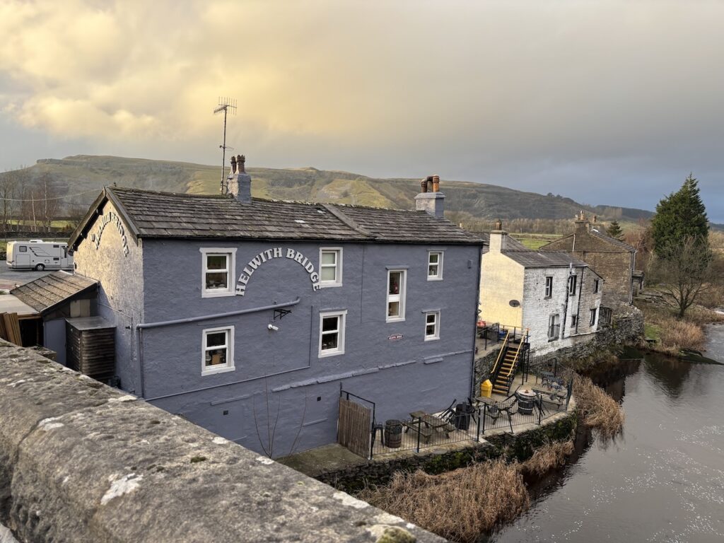
Reaching the road we go straight ahead, there is no pavement so we keep a close eye out for traffic and then after 40 metres turn right towards Helwith Bridge. The road crosses the railway line and River Ribble with the Helwith Bridge pub on our right. Apparently in the 1820’s this was a canteen for local quarry workers but it became a pub in the 1870’s when the railway line was built.
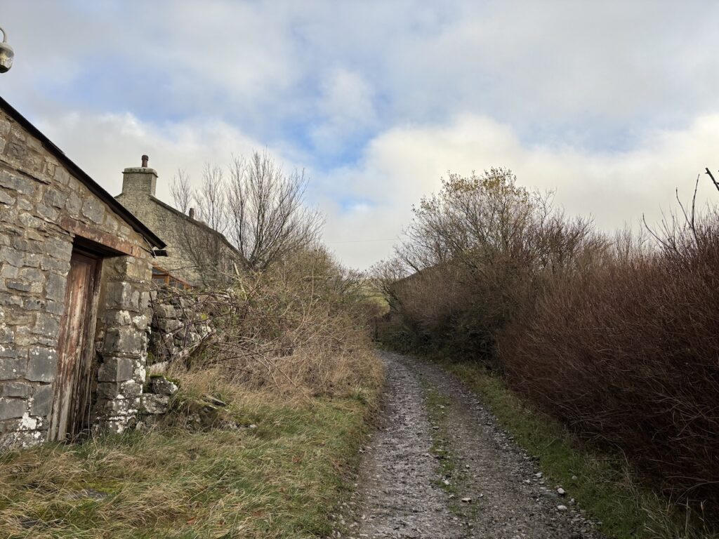
After crossing the bridge we stay on the road for 400 metres and then take a track on the left. This takes us to the lane leading to Little Stainforth.
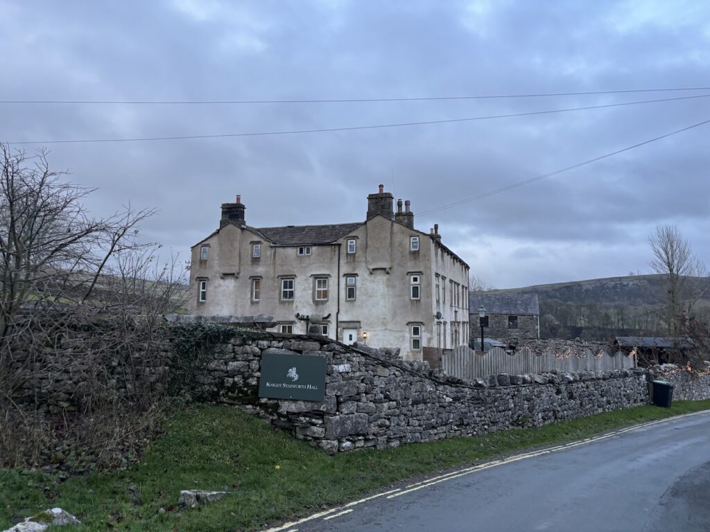
We turn left and follow the lane for almost 2km to reach Knights Stainforth Hall. This former manor house was built in 1672. This was the home of Samuel Watson an early Quaker who was granted a licence to use the building to worship under the 1689 Toleration Act.
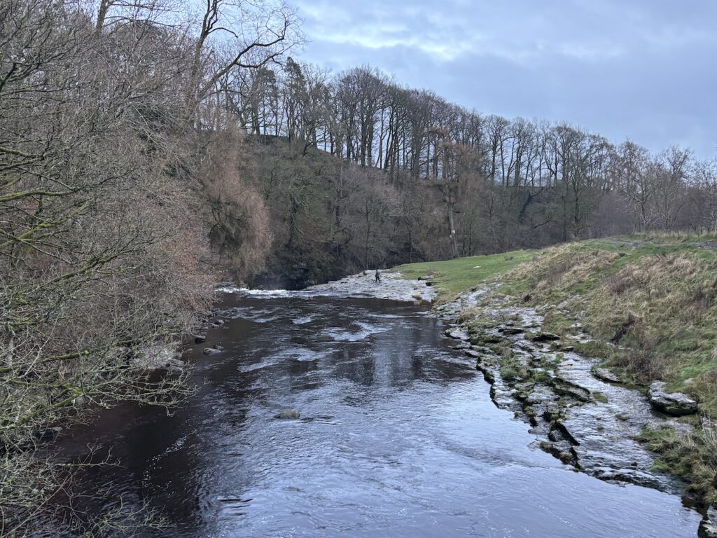
We turn left to pass the hall and head downhill to the River Ribble which we cross on the old Pack Horse Bridge built by Samuel Watson in 1675. In 1931 the bridge was passed to the National Trust, apparently at that time there was concern about the bridge being used by heavy motor vehicles and it was thought the National Trust might be more effective in enforcing weight restrictions on the bridge.
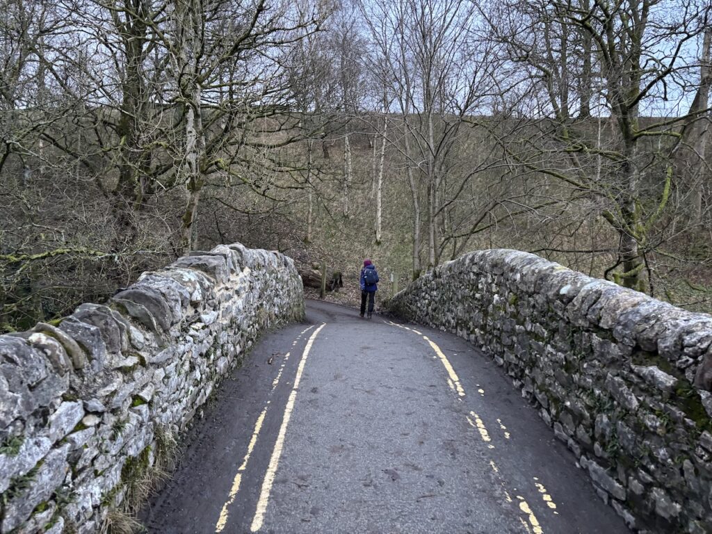
Prior to the bridge being built the crossing here was at a ford which was impassable during times of flood.
From the bridge we head uphill to reach the B6479 and turn right to return to our start point. Our walk has covered just over ten miles through some cracking countryside.
You can view this walk and download the GPX File on OS Maps (OS Maps subscription required)
To follow this walk you will need Ordnance Survey Outdoor Leisure – OL2 – Yorkshire Dales – South & West & OS Explorer Leisure – OL41 – Forest of Bowland & Ribblesdale
3rd December 2025
© Two Dogs and an Awning (2025)
All information on this site is provided free of charge and in good faith and no liability is accepted in respect of damage, loss or injury which might result from it. To the best of my knowledge the routes are entirely on public rights of way or within areas that are open for public access.
Walking can be hazardous and is done entirely at your own risk. It is your responsibility to check your route and navigate using a map and compass.