

It is very unusual for me to be on a walk when someone else is leading, but today I am walking with a group of friends one of whom lives on the Purbeck Hills. He has offered to share his local knowledge and take us to an area I have not previously walked.
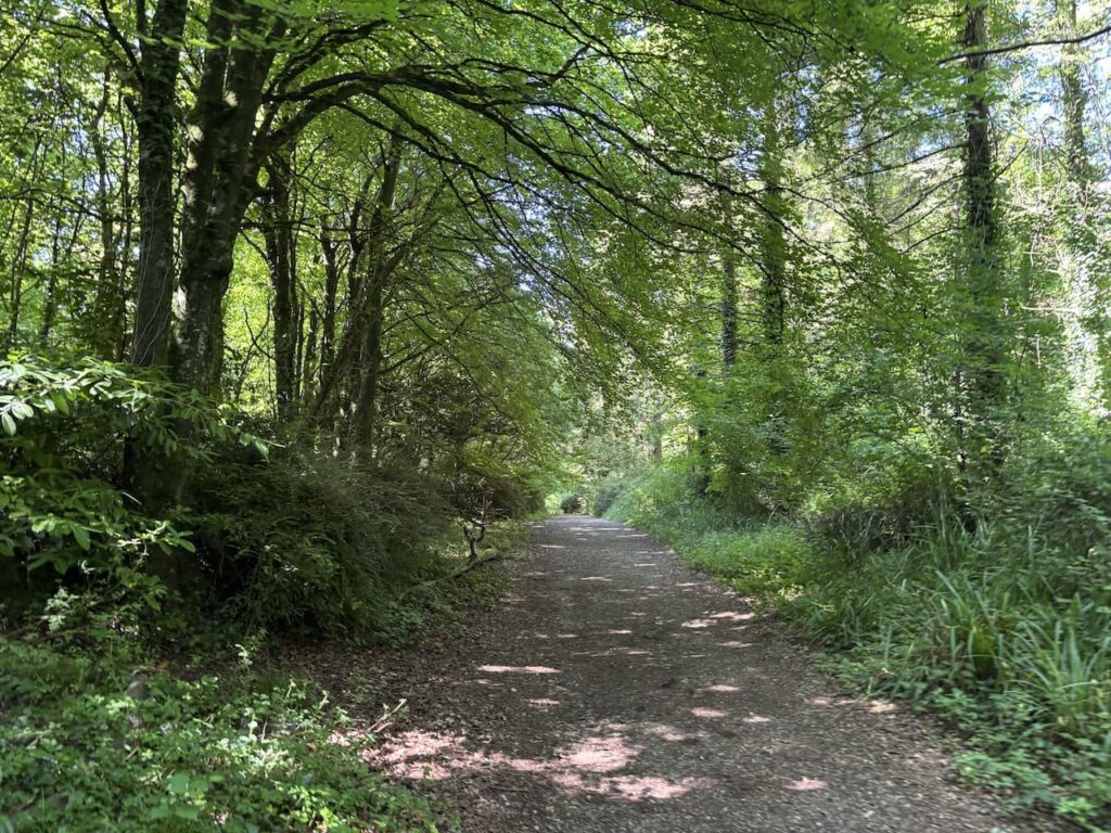
The start point for our walk is a car park in Kingston, OS Grid Ref SY953794; What3Words ///disco.cornering.freshest. Leaving the car park we join a track heading south through woodland.
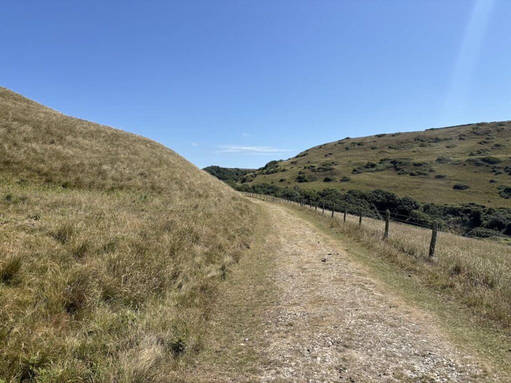
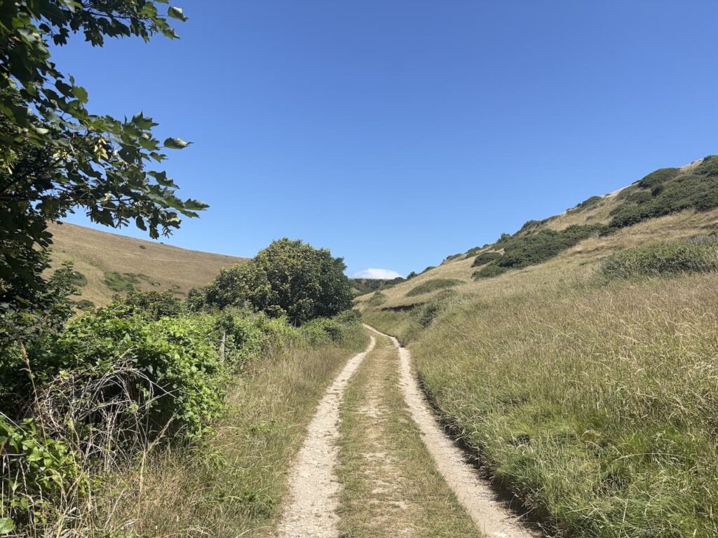
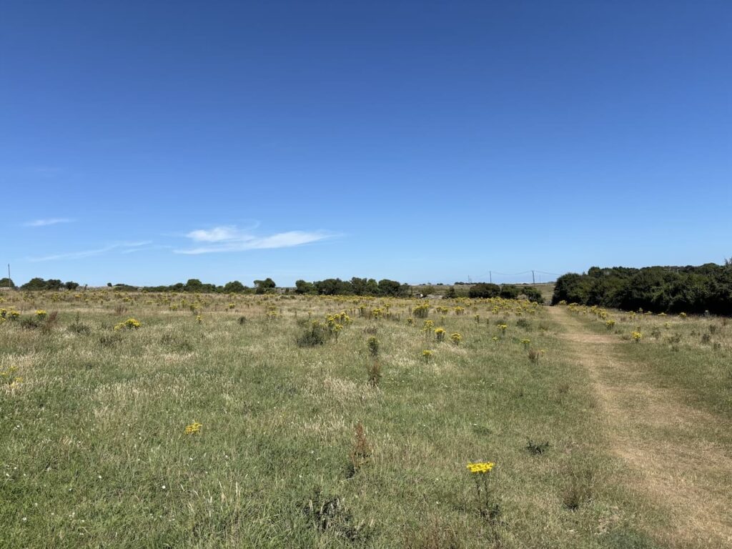
After seven hundred metres we join a track along a ridge above Encombe House.
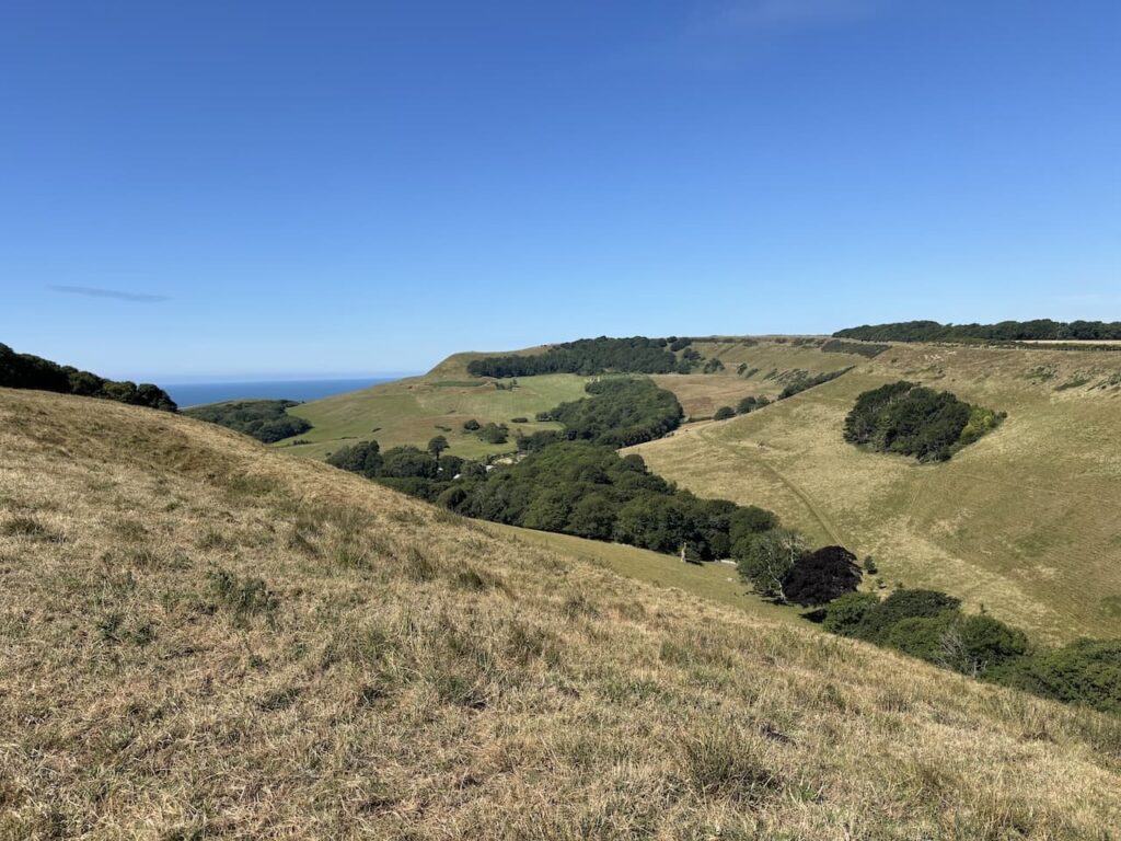
It is a stunning day with hardly a cloud in the sky and there are far reaching views as we head towards Houns-tout Cliff.
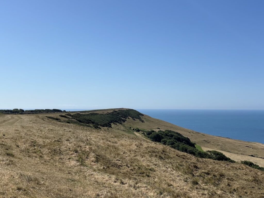
At a junction of paths we turn left to walk above the cliff and look towards Chapman’s Pool and St Aldhelm’s Head.
We then take a newly installed path replacing the original coast path which has eroded away. At a junction of tracks we turn right and follow a track with a fence on our right hand side.
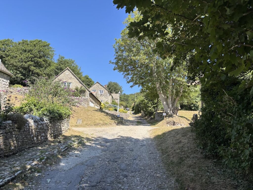
After passing through a gate we go through a hamlet and turn right to descend to a track.
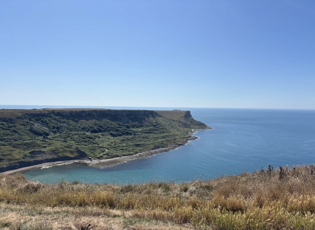
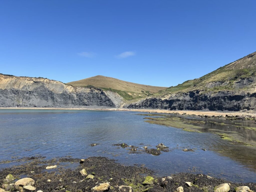
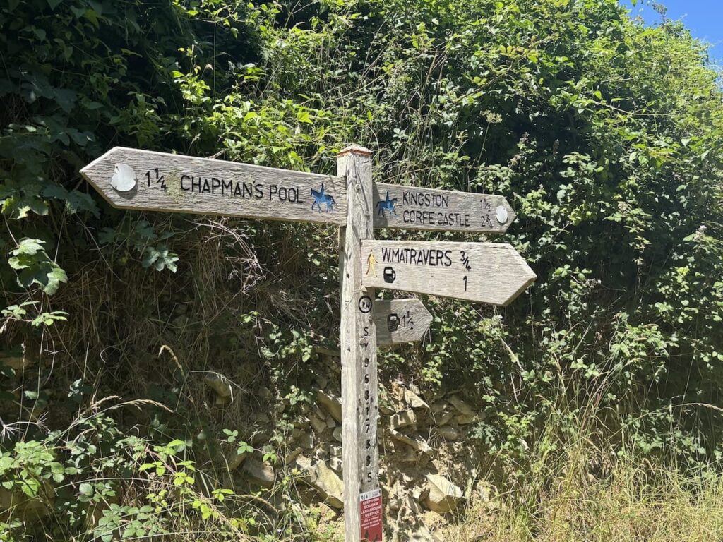
Ignoring a finger post pointing towards Chapman’s Pool we stay on the track and this gradually descends to reach the pool. In 1866 the RLNI decided to locate a lifeboat at this location to protect the crews of vessels wrecked on the rocky ledges of St Aldhelm’s Head.
In 1868 the lifeboat was launched to rescue the crew of Liberty a schooner from Portsmouth that was wrecked on Kimmeridge Ledge, sadly all the crew were lost. As a result of the wreck a new lifeboat station was built at Kimmeridge and over time it was decided to close the one at Chapman’s Pool.
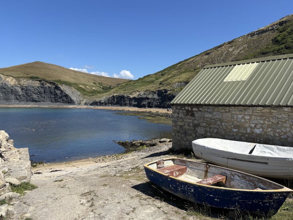
This is a stunning spot and we stop for a sandwich whilst keeping an eye out for a seal which keeps appearing in the water.
Resuming our walk we head back along the track and after passing through a gate ignore the path back to the hamlet we continue on and pass through a gate and then fork left on a track leading through Hill Bottom.
After 500 metres we turn right at a fingerpost pointing towards Worth Matravers.
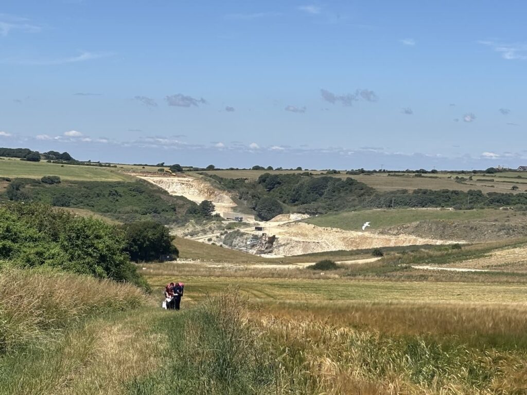
We follow a path through trees and then it emerges at the edge of a field with a view of Swanworth Quarry behind us. Quarry work started here in the 1920’s as an underground quarry operated by two men. It was then known as Sheepsleights quarry. Now it is a large open cast quarry producing crushed stone for construction and sea defences.
We follow the path into Worth Matravers entering the village via a recreation ground. At a road we turn left and walk through the village to reach the Square and Compass pub.
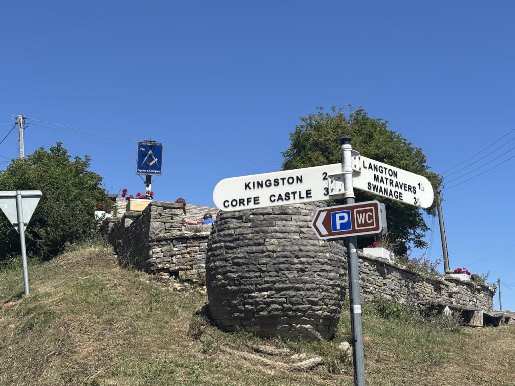
After a refreshing pint we resume our walk heading north through the village to join a footpath on the right. This is the route of the Priest’s Way, a historic three mile path linking St Nicholas’ church in Worth Matravers with St Mary’s church in Swanage. Until 1487 the church in Swanage was a chapel of ease to the Worth Matravers church and clergy used to walk between the two churches to conduct services.
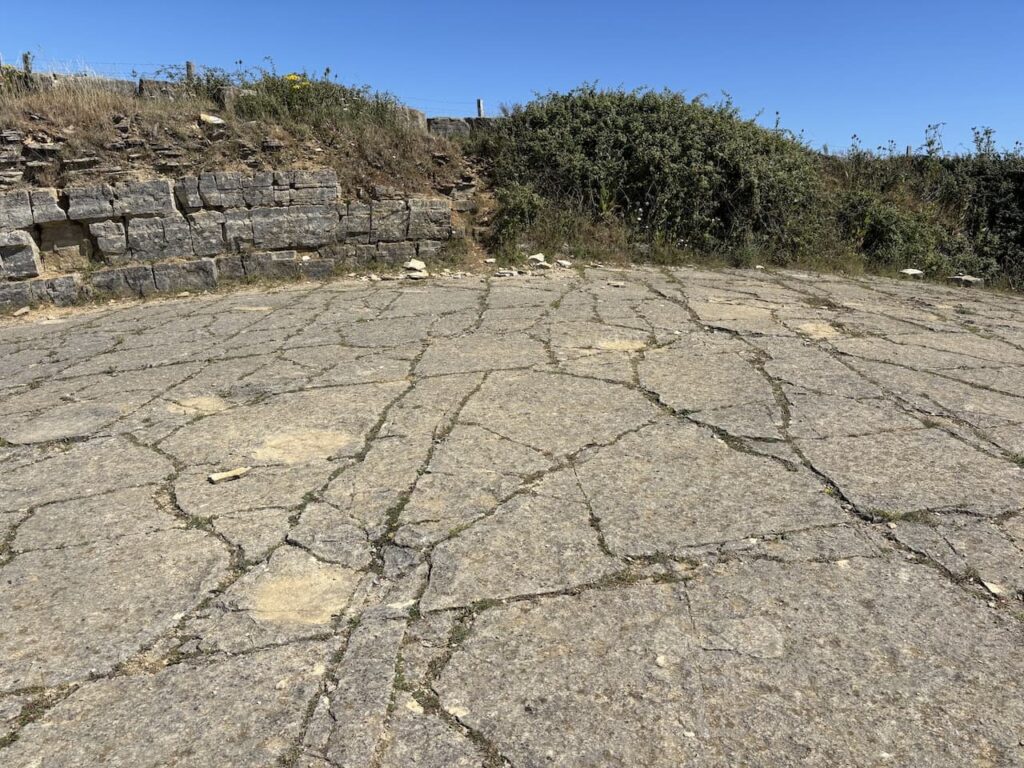
After going through a gate we join a track and stay with this for five hundred metres to reach a fingerpost on the left to the dinosaur footprints at Keates Quarry.
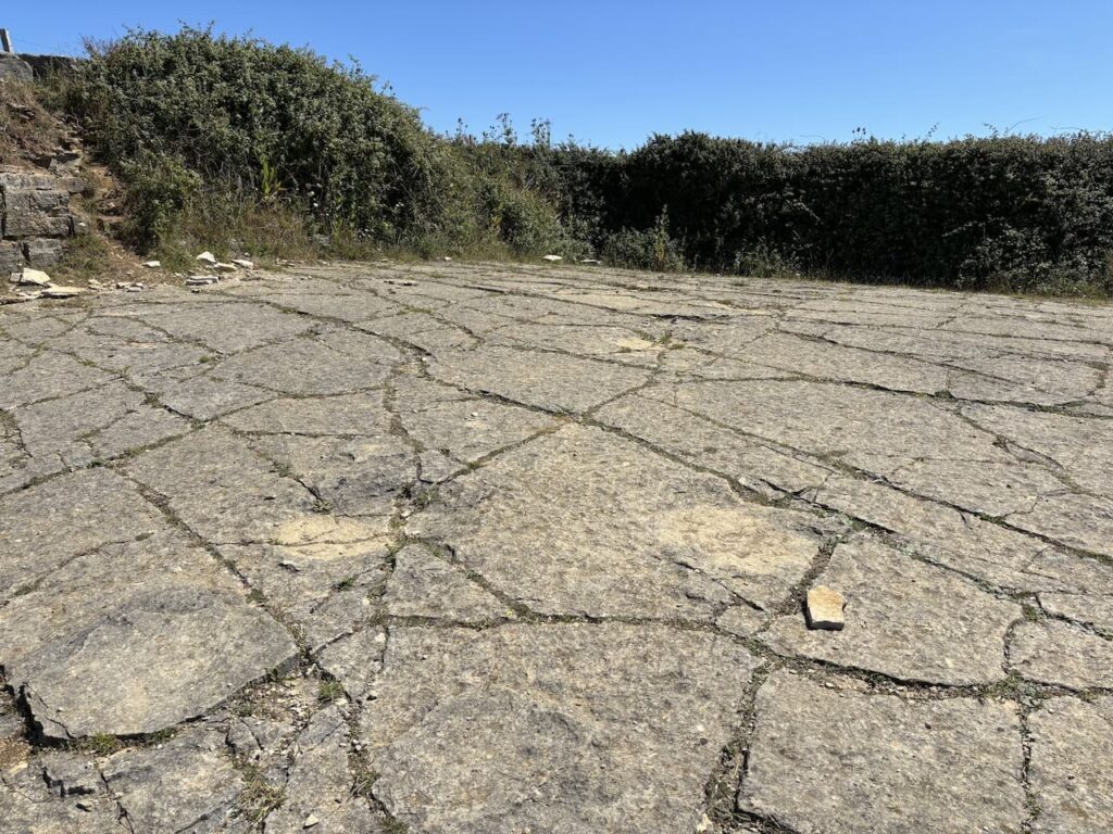
The footprints were discovered in 1997 by local quarryman Kevin Keates, there are said to be over 100 fossilised dinosaur footprints on this site created over 130 million years ago. It is really difficult to comprehend that we are walking on land that dinosaurs once inhabited.
Leaving the site we retrace our steps back to Worth Matravers and take a footpath to the left of the Square and Compass into a field. From here we rejoin the path leading back toward Hill Bottom. Reaching Hill Bottom we turn left and walk back down through the valley and then continue retracing our steps through the hamlet and rejoin the track taking us to the valley below Westhill Wood.
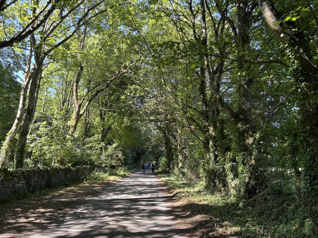
Here we turn right heading north along a track which goes steadily uphill. After going over a stile besides a metal gate we join a minor road and continue along this towards Kingston.
In the village we turn left beside the church and walk the short distance back to the car park. Our route has covered 11 miles, although we have retraced our steps a couple of times it has been a fascinating walk.
To follow my walk you will need Ordnance Survey Explorer OL15 – Purbeck & South Dorset
You can view this 11 mile walk and download the GPX File on OS Maps (OS Maps subscription required)
9th July 2025
© Two Dogs and an Awning (2025)
All information on this site is provided free of charge and in good faith and no liability is accepted in respect of damage, loss or injury which might result from it. To the best of my knowledge the routes are entirely on public rights of way or within areas that are open for public access.
Walking can be hazardous and is done entirely at your own risk. It is your responsibility to check your route and navigate using a map and compass.