

Last year I started providing guided walks, details of which can be found on my associated Walking Moonraker website. I am always looking for new walks to add to the extensive list I already offer. So today I am heading back onto Cranborne Chase to test a route that promises some stunning views and also visits some interesting historical sites.
The starting point for my walk is a parking area on the Shaftesbury Drove to the north of Alvediston (OS Grid Reference ST964250 What3Words ///reinvest.playback.snitch) this a public byway so when parking I make sure I do not obstruct other vehicles going along the track.
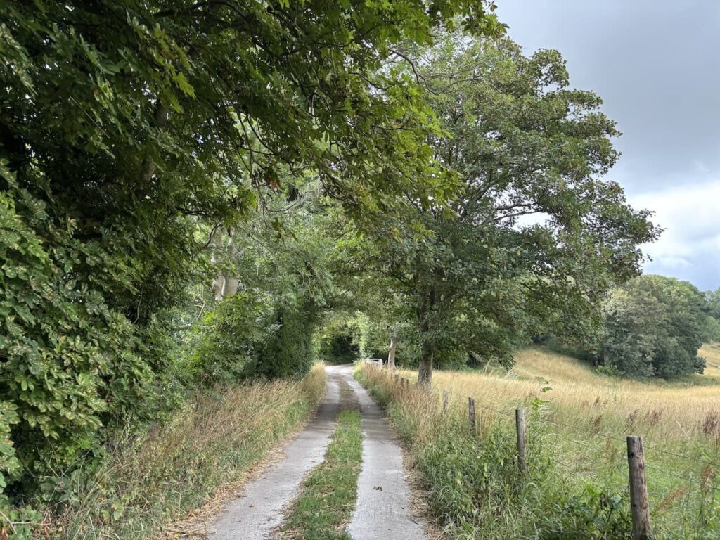
Leaving the car I head west along the byway which was once the drovers route between Salisbury and Shaftesbury.
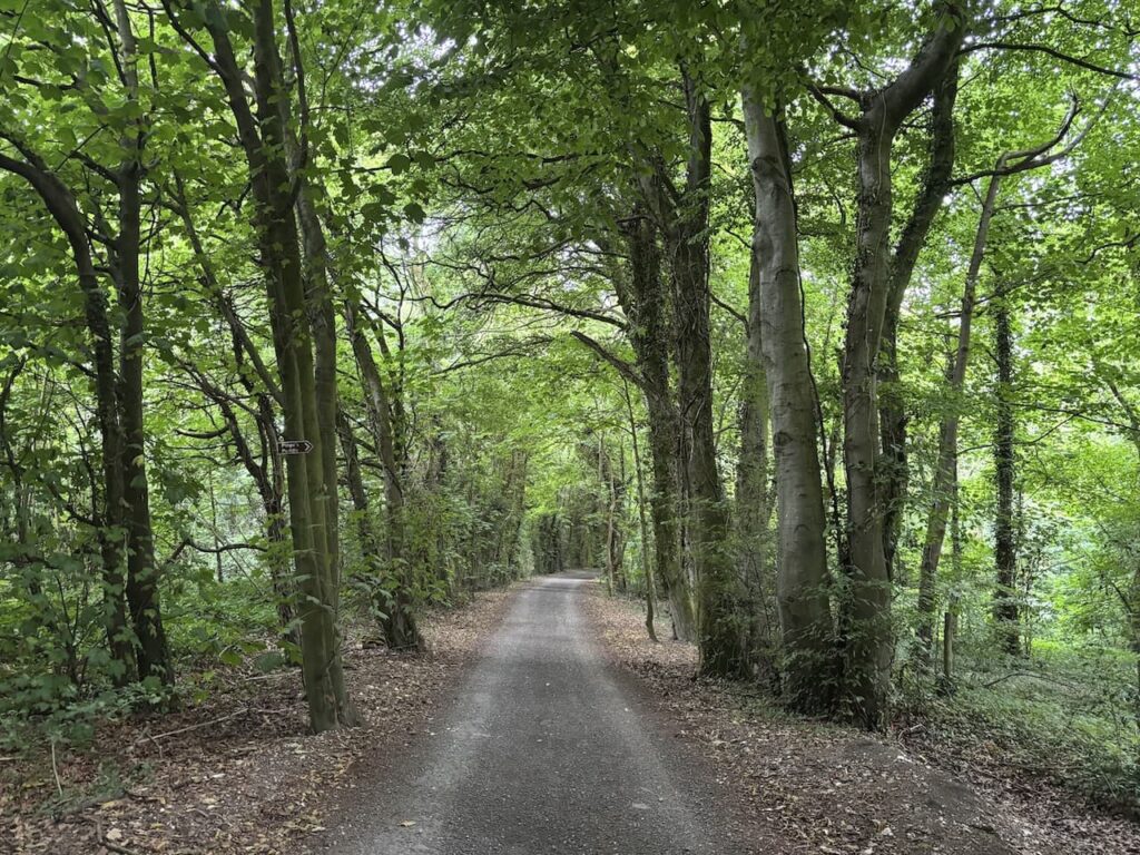
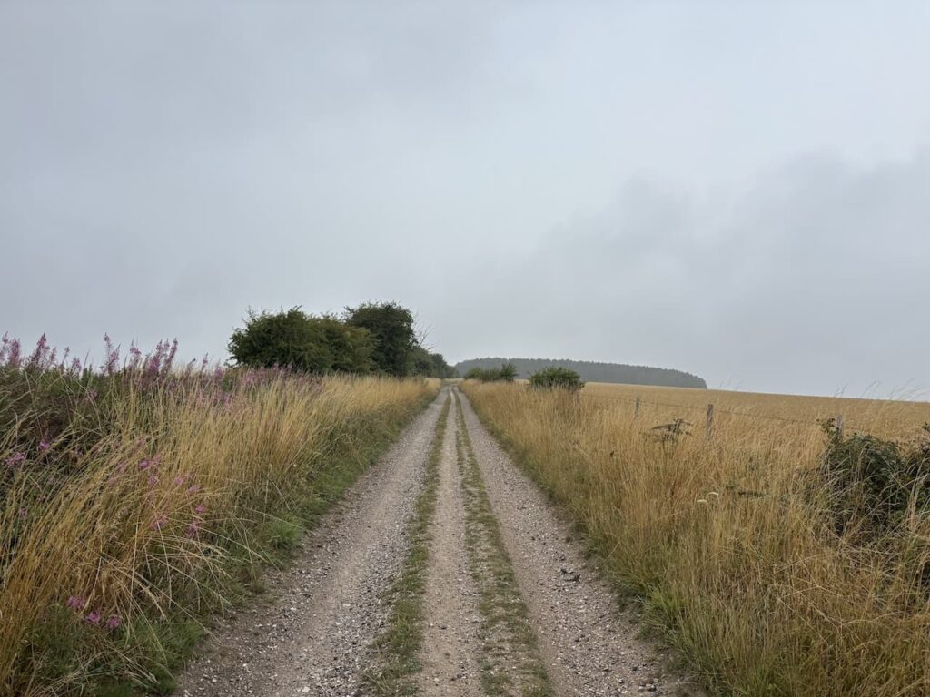
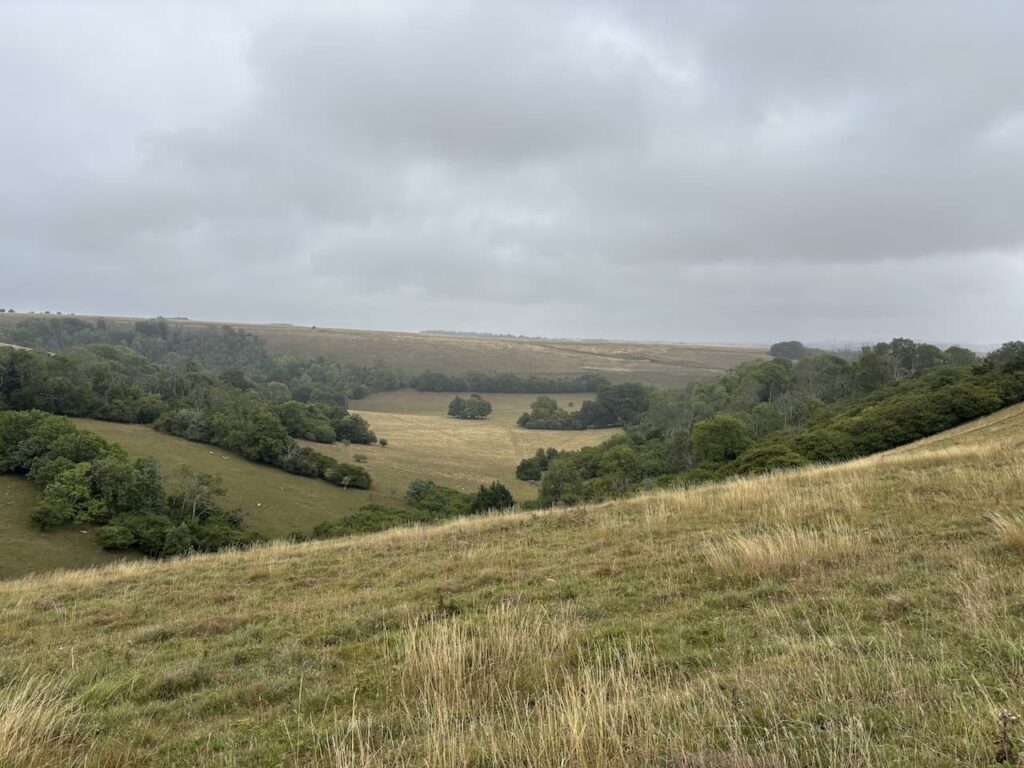
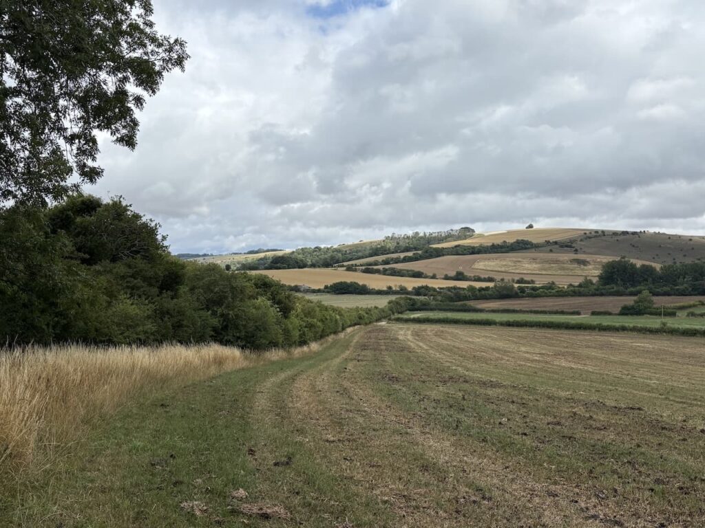
After 400 metres I emerge from the trees and the track opens out as I head towards White Sheet Hill. Usually there are some stunning views from here but today there is low cloud and drizzle in the air so I don’t get the full benefit.
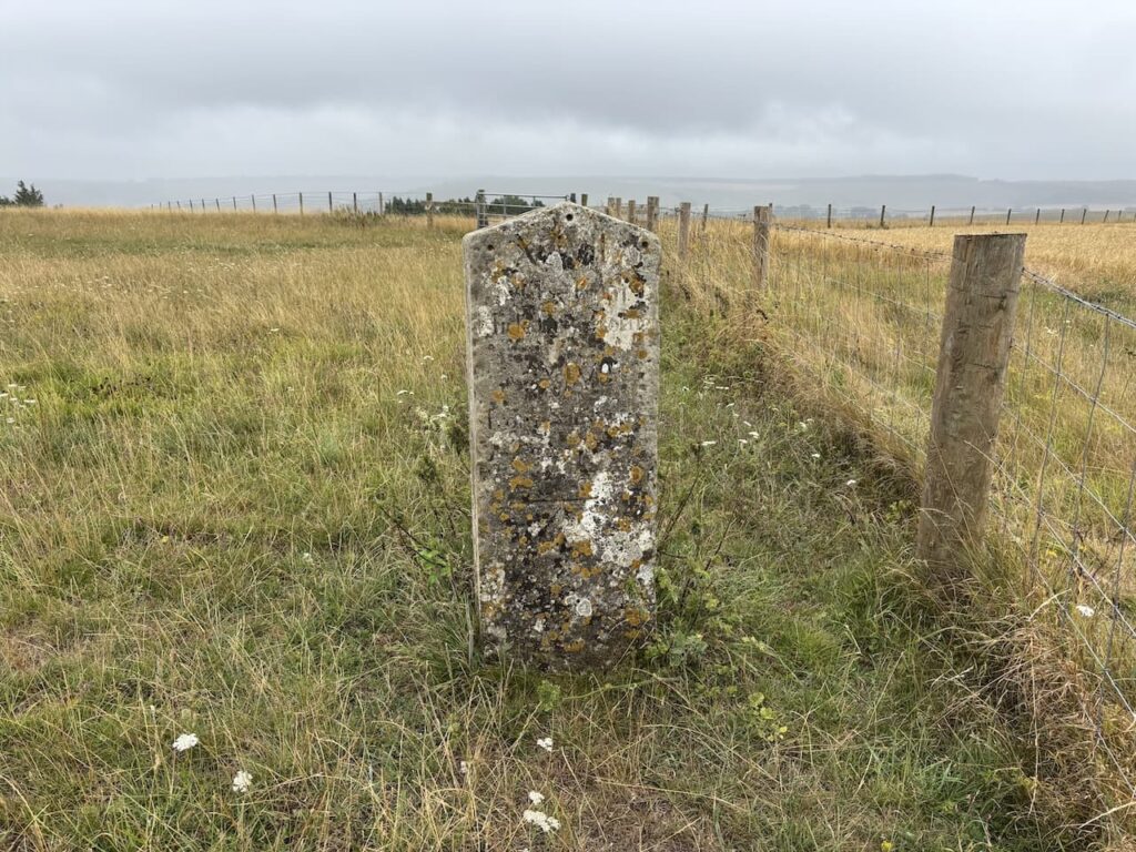
After 2.5 km, just after passing a large long barrow on the right I take a footpath on the left that crosses a stile and soon reaches an old milestone. I have previously struggled to make out the inscription, but having researched it on the Historic England website I know it reads ‘XCVII MILES FROM HIDE PARK CORNER, XIV FROM SALISBURY 1756’.
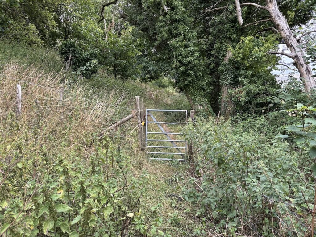
From here I head through a gate and stay on a path with the fence to my right.
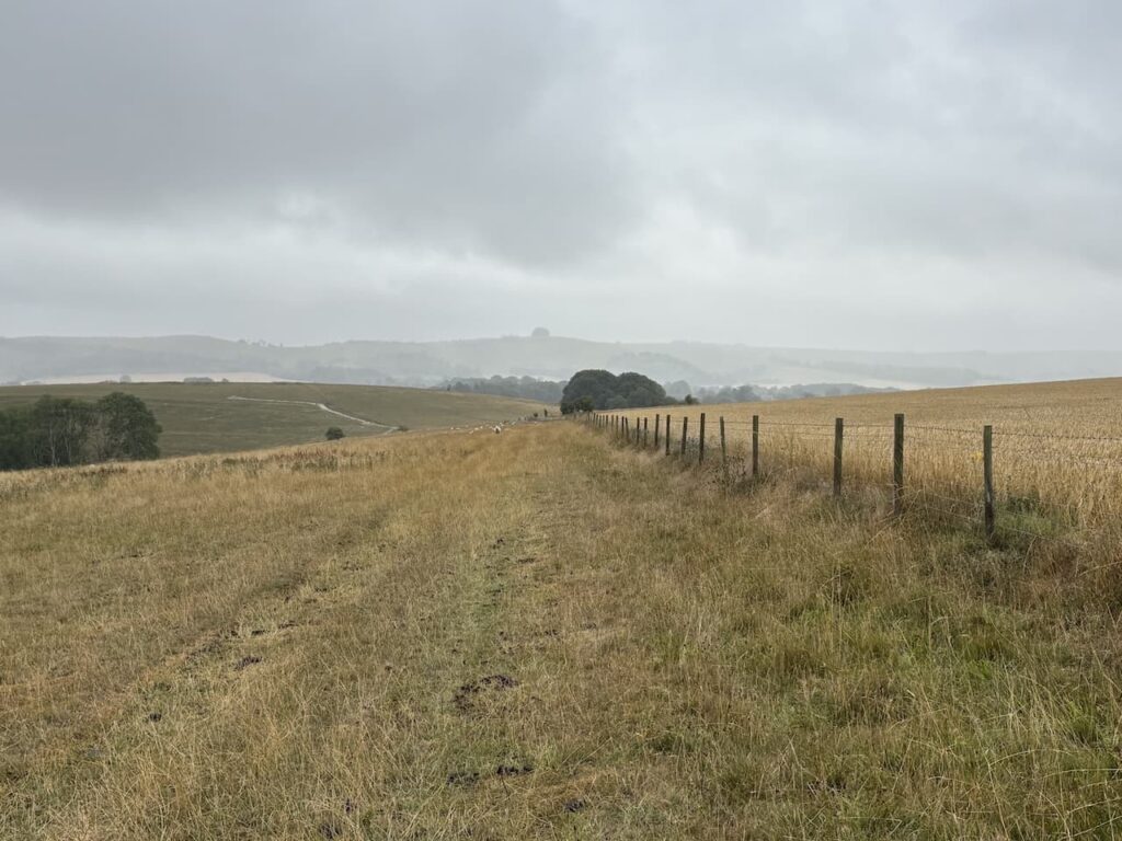
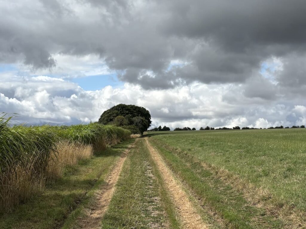
After going through another gate I am on the open access land of Berwick Coombe and even with the low cloud I enjoy far ranging views.
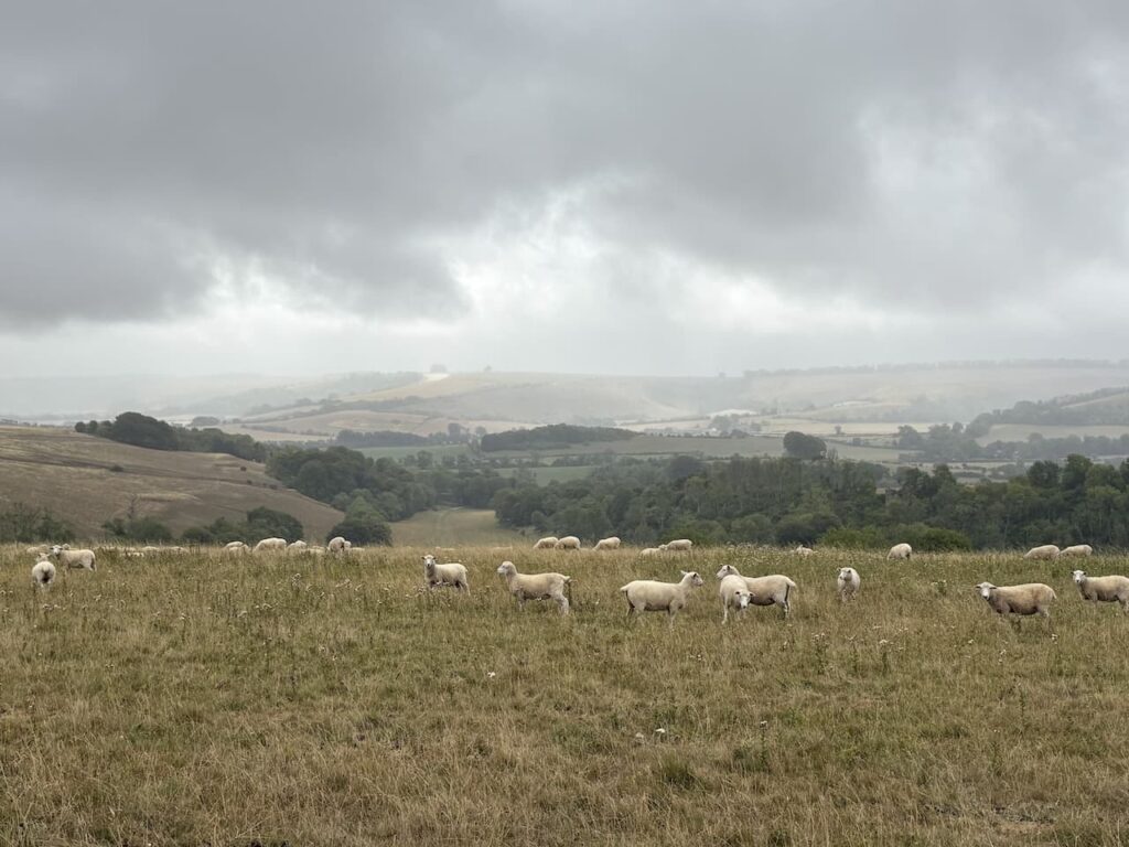
I follow the contour lines around the top of the open access land keeping the fence to my right. As the fence line turns to the left there is a footpath through a gate, but I ignore this and stay in the field.
At the end of the access land I come to a farm gate and go through and turn right to immediately reach another gate which I go through and then head diagonally across the field to reach a metal pedestrian gate besides a farm gate.
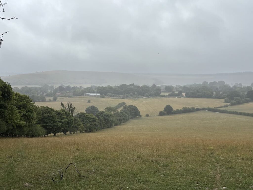
Going through the gate there is a view over Berwick St John with the Ox Drove on the horizon in the distance.
The path descends before going through a gate and across a field to reach a gate close to a telegraph pole and then very quickly reaches another gate beside a minor road. Crossing the road I enter a field directly opposite.
I follow the path across the field passing a war memorial and then through a wooden gate I join a track which quickly leads to Luke Street where I turn right.
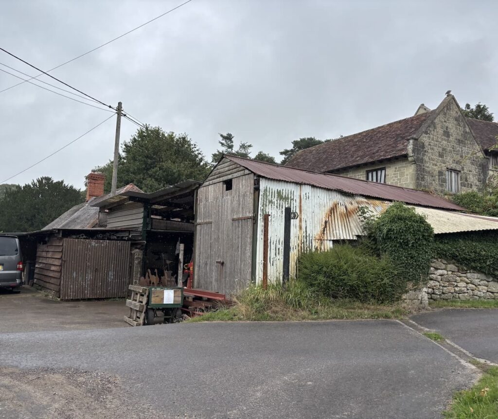
At the top of Luke Street I bear left into Blind Street and then at a T-junction turn left into Water Street. I pass the village hall and as I near the centre of the village pass Berwick Forge blacksmiths.
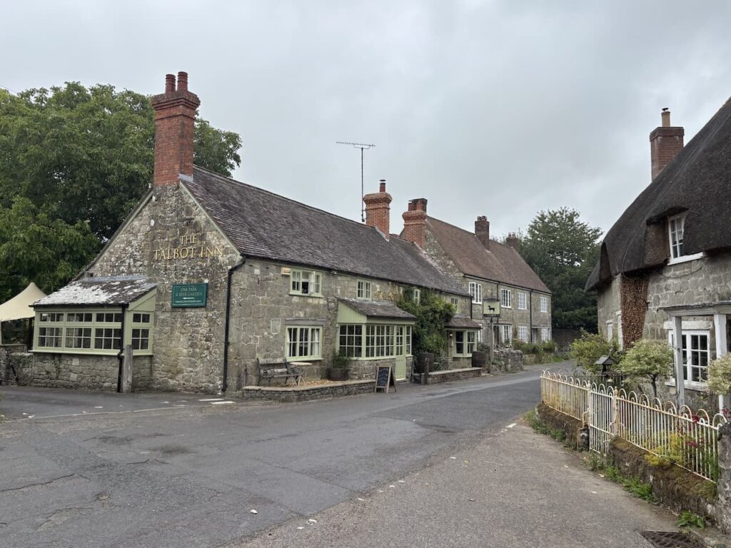
Now ahead of me is the Talbot Inn which according to CAMRA opened around 1832 despite strong opposition from the local parsons wife. The pub has recently undergone refurbishment and was opened in November 2024 after a period of closure. I have only been in the pub once and that was almost fifty years ago. Perhaps on another walk I will have to pay a return visit.
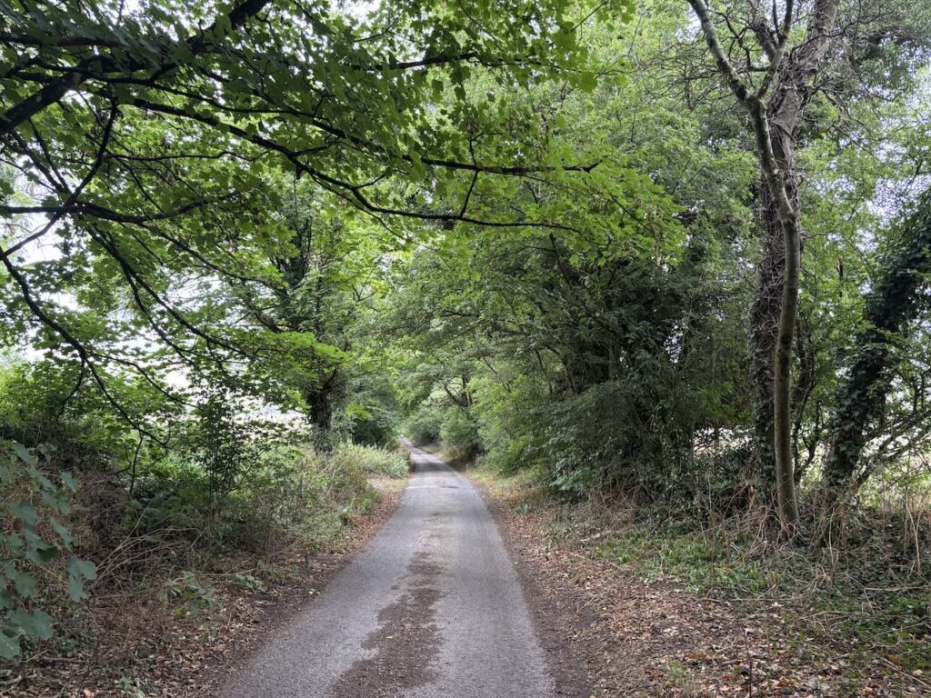
I now go along Church Street for about 50 metres and then turn right into Woodlands Lane and follow this out of the village.
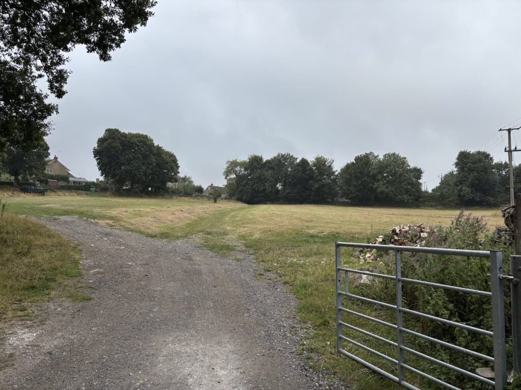
After about 800 metres I reach Woodlands Farmhouse.
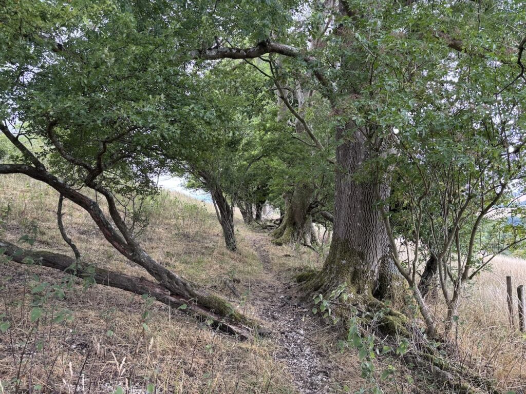
I walk along a track beside the farmhouse and go through a metal farm gate on my left. In the field I ignore a bridleway up a chalk track on my left instead I take a footpath on the right which roughly follows the edge of the fence line as it heads diagonally uphill to a metal gate into woodland.
On leaving the woods the path goes through a gate and along the edge of a field.
After going through a wooden gate I join a downhill track. Where the track turns to the right there is a fingerpost showing a path along the top edge of the field, this differs slightly from the route shown on the map but given there is a fingerpost I take it.
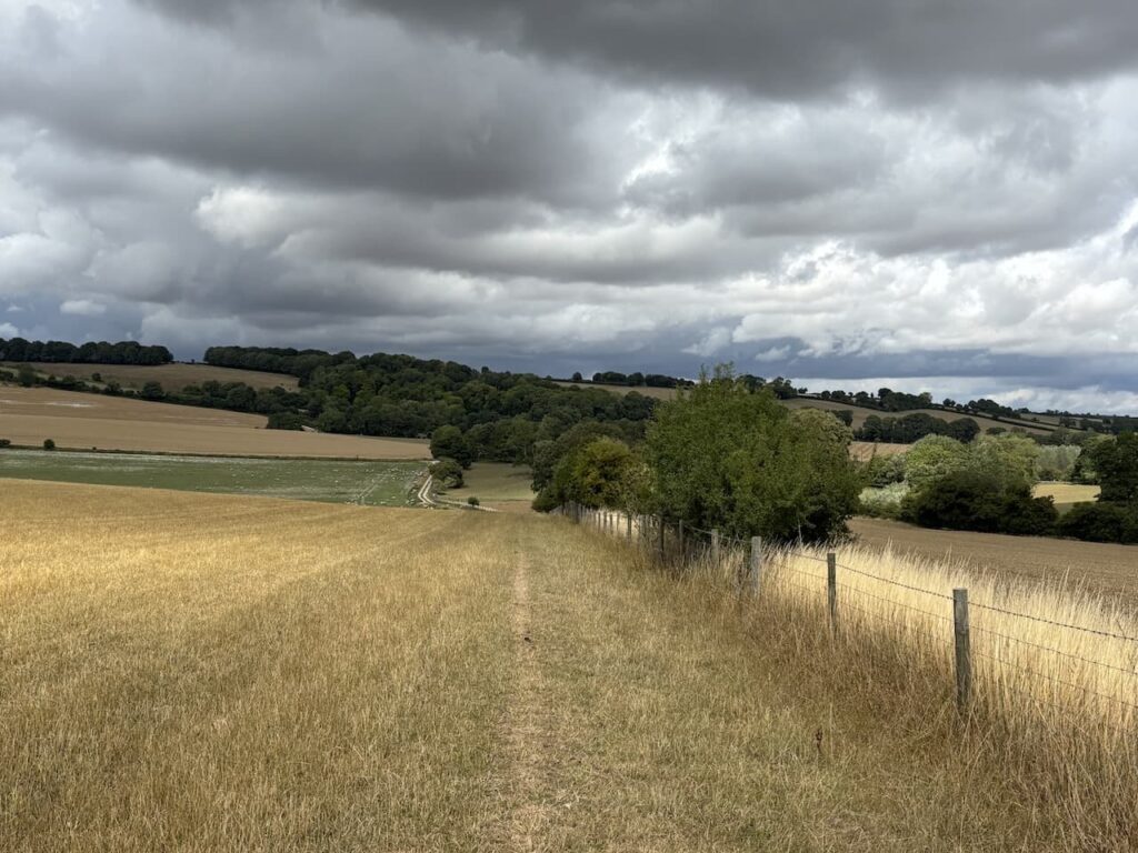
After 100 metres I take a path on the left through the hedge line to reach a gate into a field and I continue with the fence line on my right now heading towards Norrington Farm.
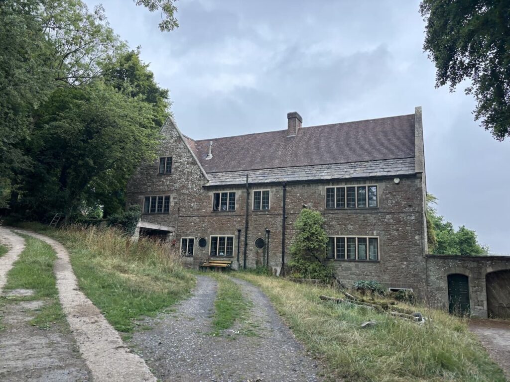
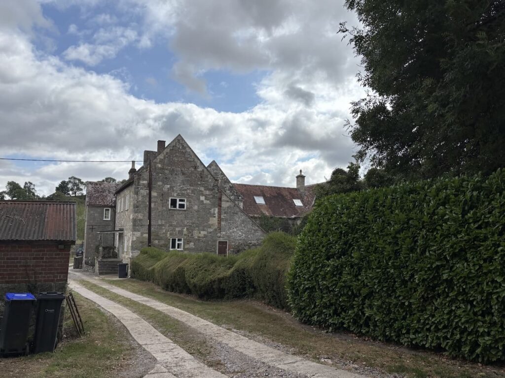
Through another gate I join a track and follow this to Norrington Farm. The origins of the farm house date back to a medieval manor house with some features still existing from the 14th century. It is thought the house was built in 1377, later in 1658 it was the seat of Sir Wadham Wyndham (1609-1668) he was a judge on the Kings Bench and acted as one of the Fire Judges after the Great Fire of London. The role of the Fire Judges was to determine compensation claims following the fire.
At a junction of paths near farm buildings I continue straight on and then turn right along a track leading to cottages. Just after the last cottage I turn left along a footpath with a fence line on my left and the dried up bed of the River Ebble on my right.
After going through a field I reach a minor lane which I cross and join a track.
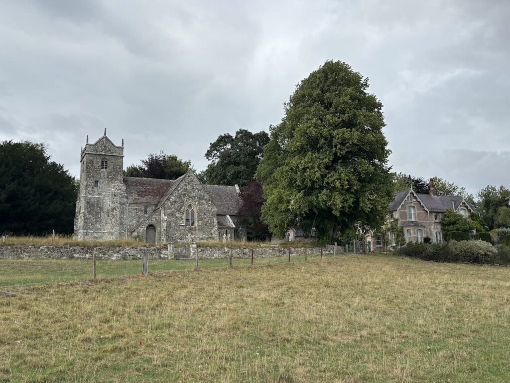
To my left is St Mary’s Church, Alvediston. I usually stop to visit churches but I am pressed for time so will save my visit for my next trip. The church originates from the 12th century and over the years there have been additions and renovations. A significant amount of work was done in the 19th century.
In the churchyard is the grave of former Prime Minister Sir Anthony Eden, later known as The Rt Hon Earl of Avon, he retired to Alvediston in 1966 and died there in 1977.
I leave the track by a gate on the right and follow a path through fields heading towards Ebbesborne Wake.
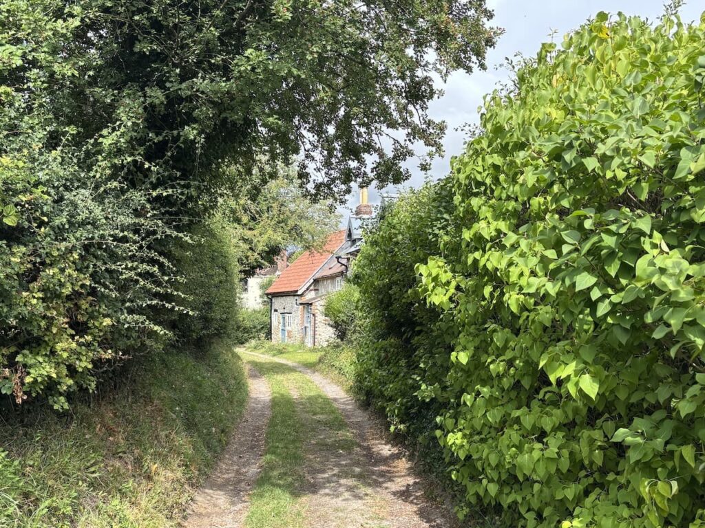
Nearing the village I go through a gate along a track and pass cottages.
On reaching a road I turn left and walk a short distance along a road and then keep going straight ahead on a track heading towards North Hill Farm.
At a fork in the track I go left and then leave the farm driveway by a footpath sign on the left. The route follows a grassy track heading steadily uphill towards a copse.
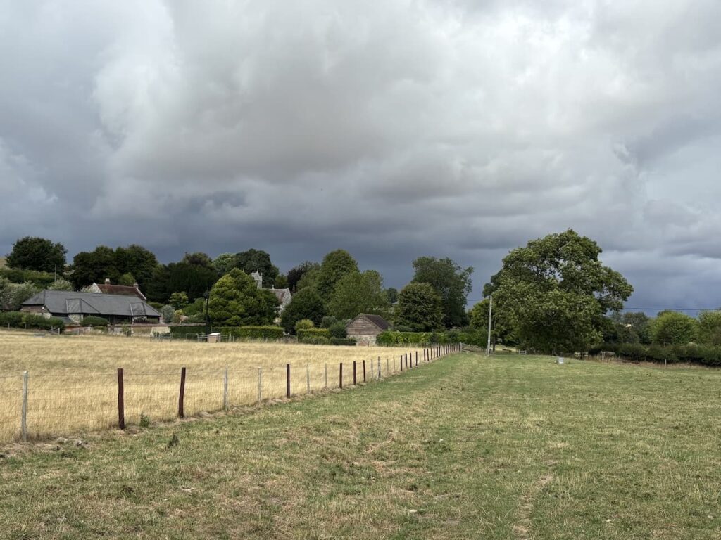
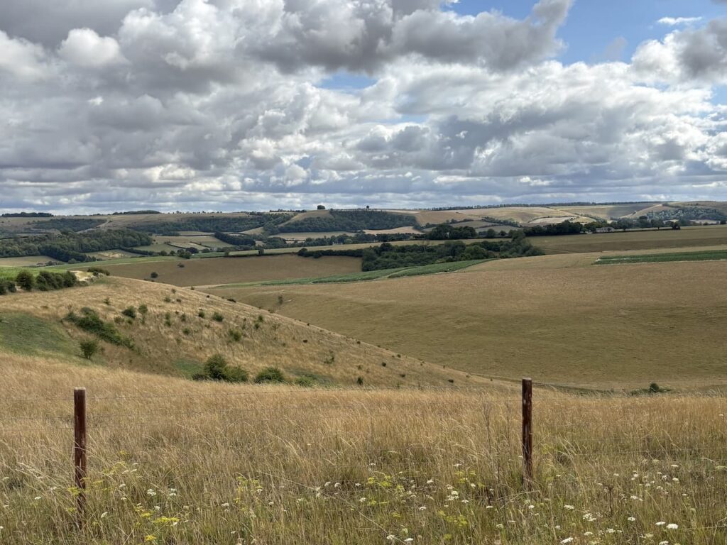
After passing the copse I take a path on the left. Now that the clouds have lifted there are stunning views across the Ebble valley.
I follow the way markers to reach a gate and go through to enter a large pasture field which I cross heading towards the far right corner.
After going over a stile I am back on the Old Shaftesbury Drove. Here I turn left and make my way back to the start point 500 metres along the track.
To follow my walk you will need Ordnance Survey Explorer 118 – Shaftesbury & Cranborne Chase
You can view this 8.5 mile walk and download the GPX File on OS Maps (OS Maps subscription required)
25th July 2025
© Two Dogs and an Awning (2025)
All information on this site is provided free of charge and in good faith and no liability is accepted in respect of damage, loss or injury which might result from it. To the best of my knowledge the routes are entirely on public rights of way or within areas that are open for public access.
Walking can be hazardous and is done entirely at your own risk. It is your responsibility to check your route and navigate using a map and compass.