

This walk is a shorter variation of a walk I have done from the Old Shaftesbury Drove to Berwick St John. I start from a parking area on the Shaftesbury Drove to the north of Alvediston (OS Grid Reference ST964250 What3Words ///reinvest.playback.snitch) this a public byway so when parking I make sure I am not obstructing other vehicles going along the track.
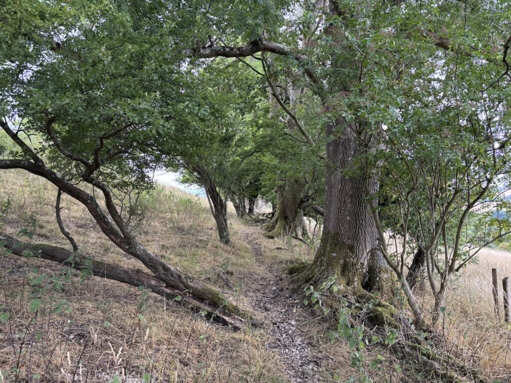
Leaving the car I head west along the byway which was once the drovers route between Salisbury and Shaftesbury.
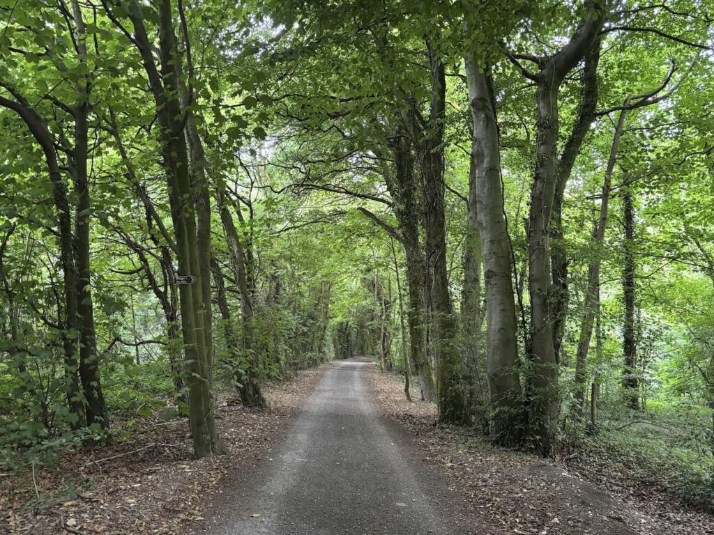
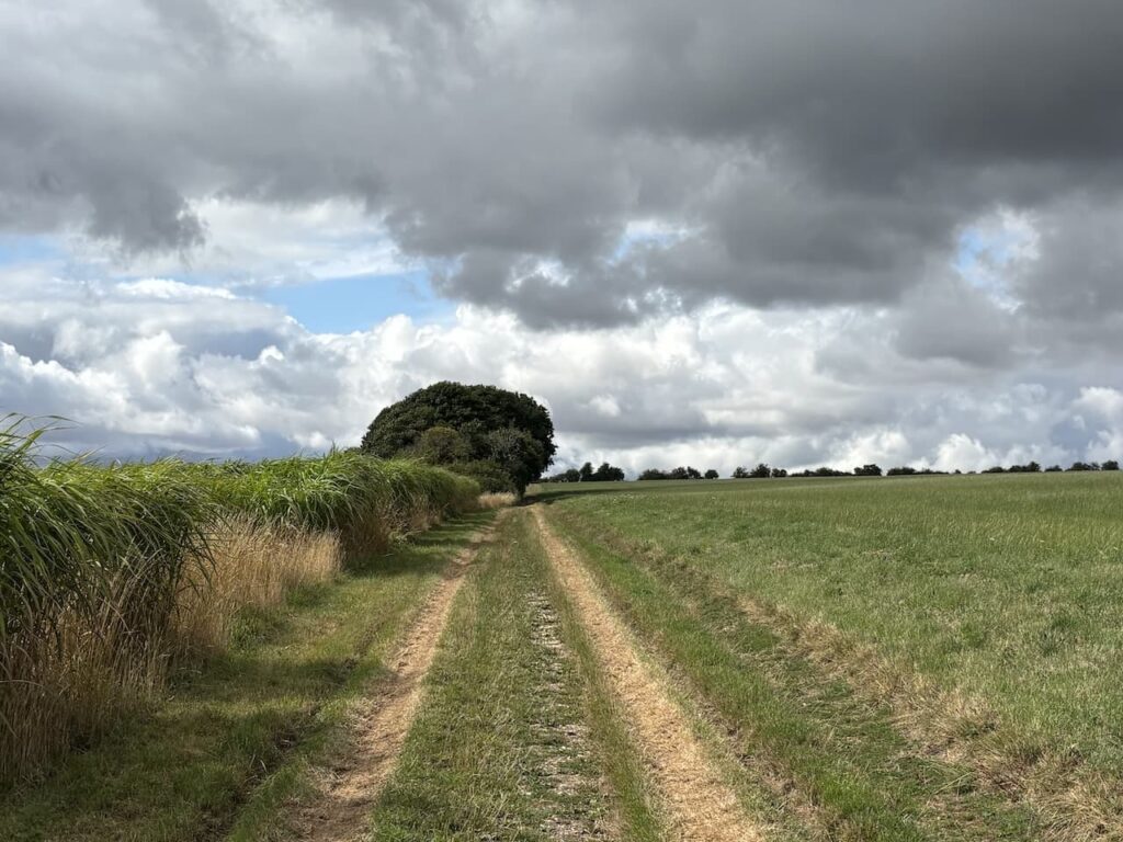
After 400 metres I emerge from the trees and track opens out.
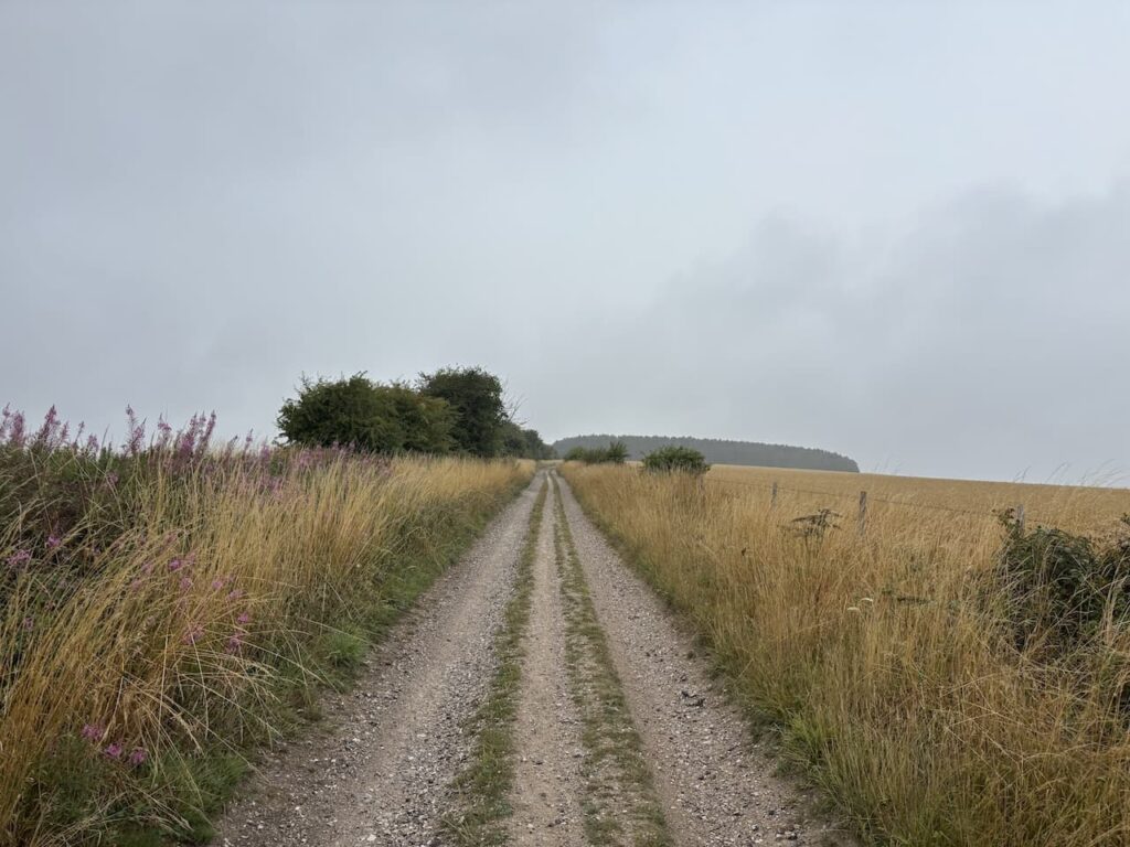
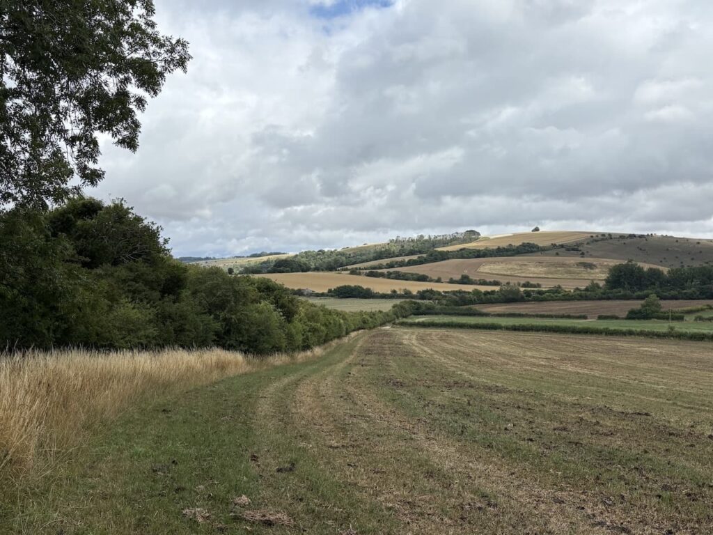
After 2.2 km I reach a gate on the left and take this to enter a pasture field. The footpath goes diagonally to the right.
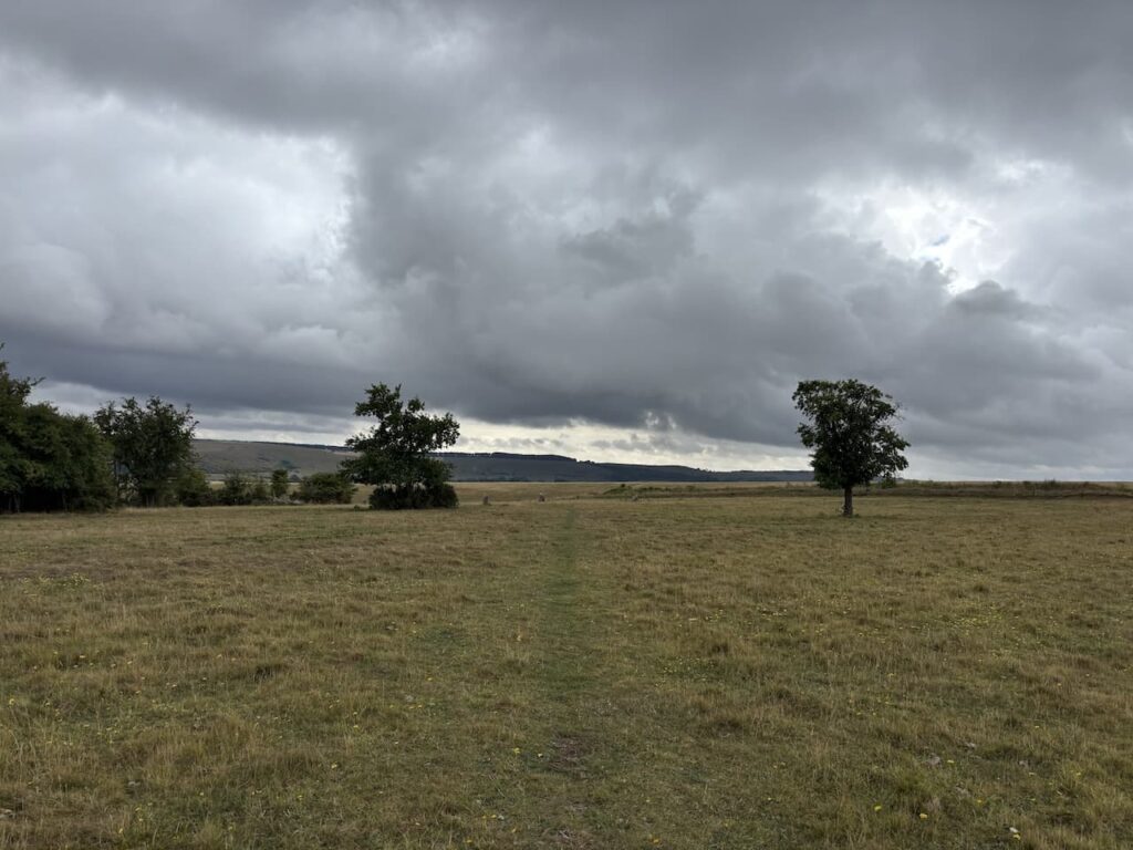
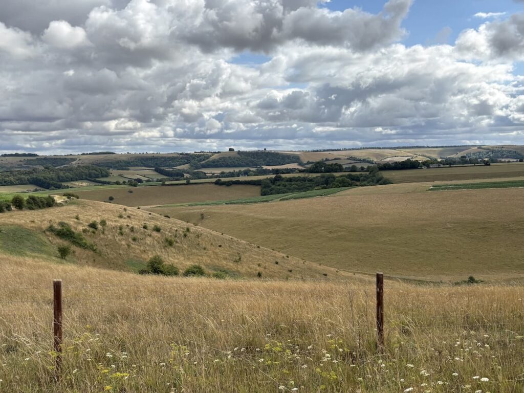
The path goes through a metal gate and then reaches a gate beside a Cross Dyke. Here there is a bench with a splendid view towards Gallows Hill.
Local historian Peter Meers has written a book “Ebbesbourne Wake Through the Ages” in it he explains that despite the hills name it was unlikely any executions actually took place there. However, it was the site of a gibbet which hung from a Scotch Pine tree. Meers suggests that following the War of the Roses many unemployed soldiers became Highway men. The Murder Act of 1752 included the provision that the bodies of criminals receiving the death penalty should be taken to the site where the crime was committed and exhibited in a metal cage. Another option for the executed body was to be handed over to surgeons for dissection.
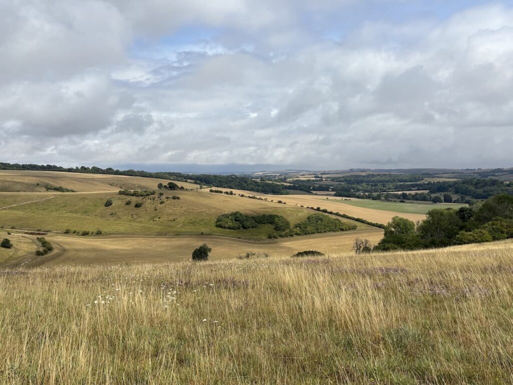
I stop to admire the view from the bench. It amazes me that when walking in Wiltshire you rarely encounter any one else. Some how the beauty of this county has been overlooked which is probably a good thing for those of us who enjoy walking on these stunning chalk downs.
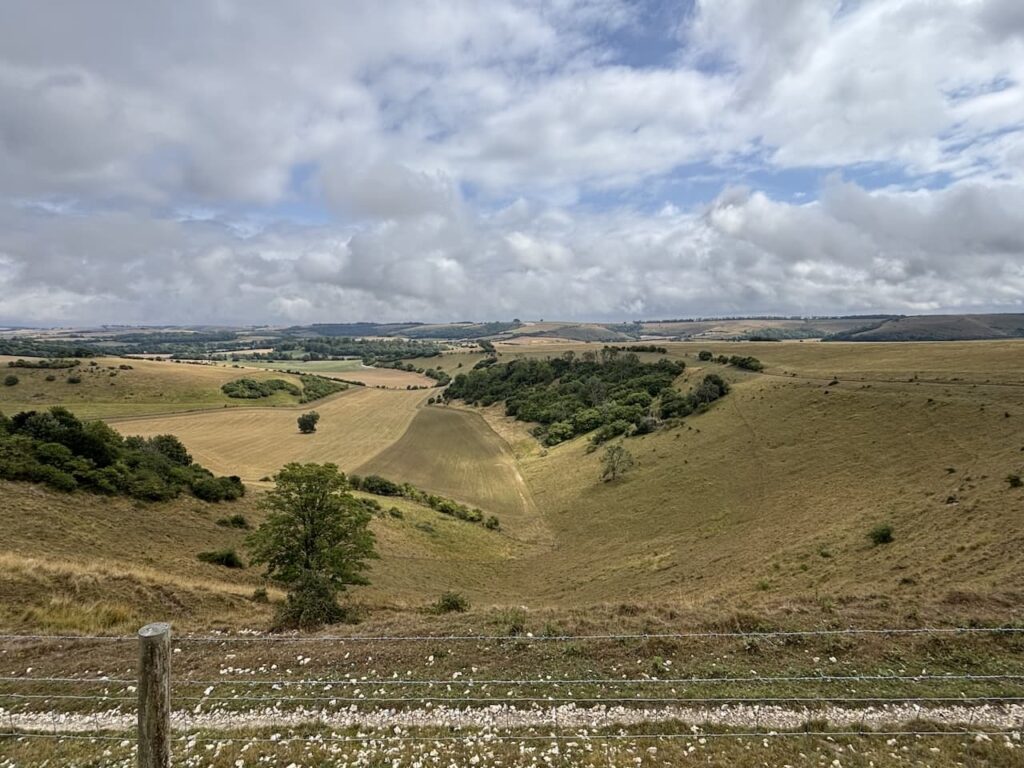
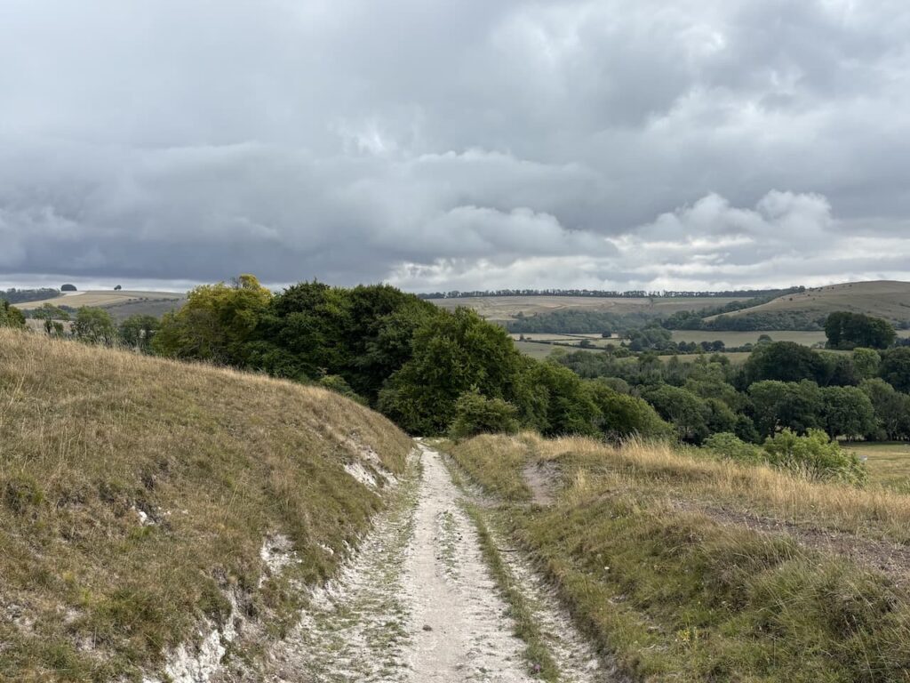
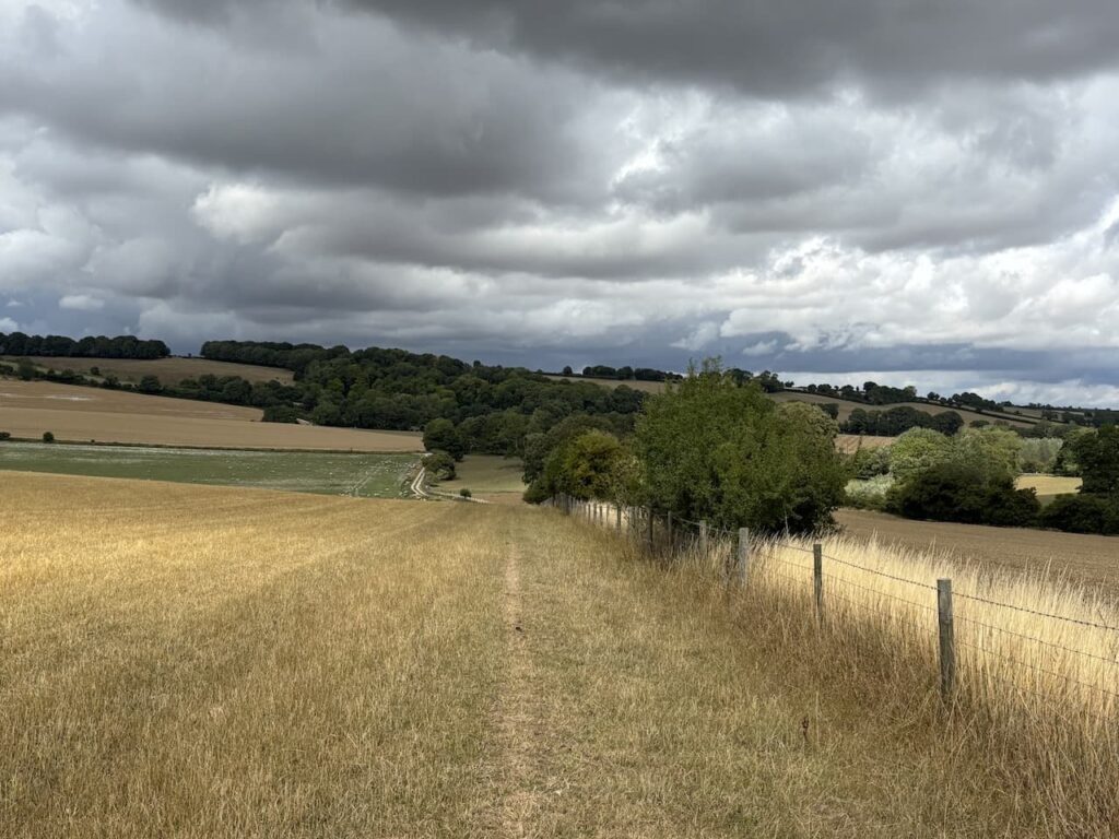
From the bench I go through another metal gate and follow a path across Woodlands Down to a gate. Once through the gate the path descends on a well worn chalk track. In the distance on the horizon is the Ox Drove and in front of it the iron age hillfort on Winklebury Hill.
The track leads to a metal gate. I don’t go through, instead I turn left and take a footpath on the right which roughly follows the edge of the fence line as it heads diagonally uphill to a metal gate into woodland.
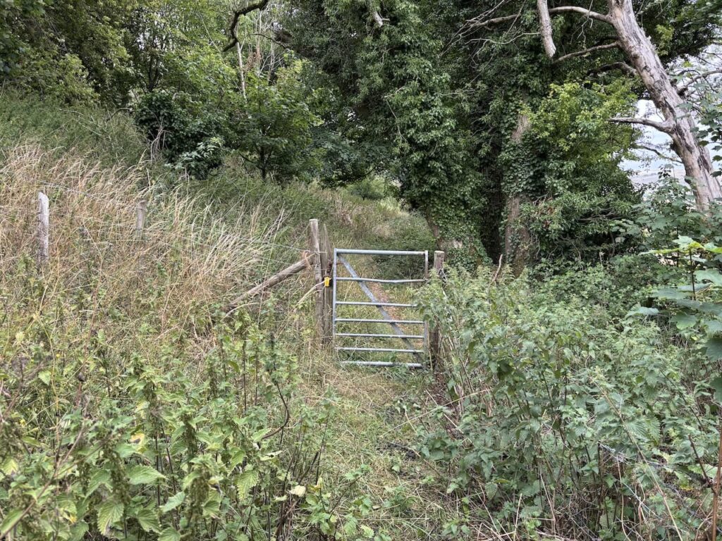
On leaving the woods the path goes through a gate and along the edge of a field.
After going through a wooden gate I join a track heading downhill. Where the track turns to the right there is a fingerpost showing a path along the top edge of a field, this differs slightly from the route shown on the map but given there is a fingerpost I take it.
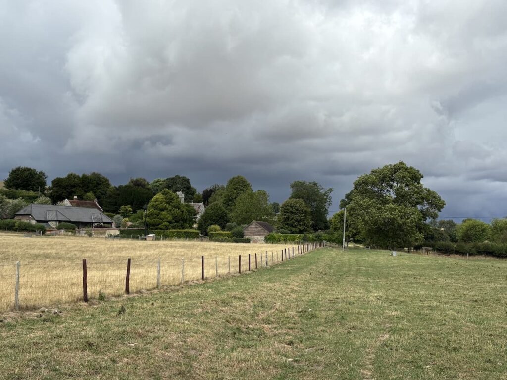
After 100 metres in the field I take a path on the left which goes through the hedge line to reach a gate into a field and I continue with the fence line on my right now heading towards Norrington Farm.
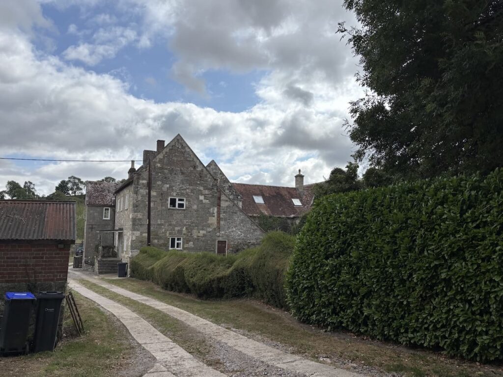
After another gate I join a track and follow this to Norrington Farm. The origins of the farm house date back to a medieval manor house with some features still existing from the 14th century. It is thought the house was built in 1377. In 1658 it was the seat of Sir Wadham Wyndham (1609-1668) he was a judge on the Kings Bench and acted as one of the Fire Judges after the Great Fire of London. The role of the Fire Judges was to determine compensation claims following the fire.
At a junction of paths near farm buildings I continue straight on and then turn right along a track leading to cottages. Just after passing the last cottage I turn left along a footpath with a fence line on my left and the dried up bed of the River Ebble on my right.
Through a field I reach a minor lane which I cross to join a track.
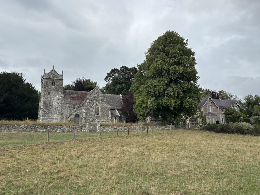
To my left is St Mary’s Church, Alvediston. The church originates from the 12th century and over the years there have been additions and renovations. A significant amount of work was done in the 19th century.
In the churchyard is the grave of former Prime Minister Sir Anthony Eden, later known as The Rt Hon Earl of Avon, he retired to Alvediston in 1966 and died there in 1977.
I leave the track by a gate on the right and follow a path through fields heading towards Ebbesbourne Wake.
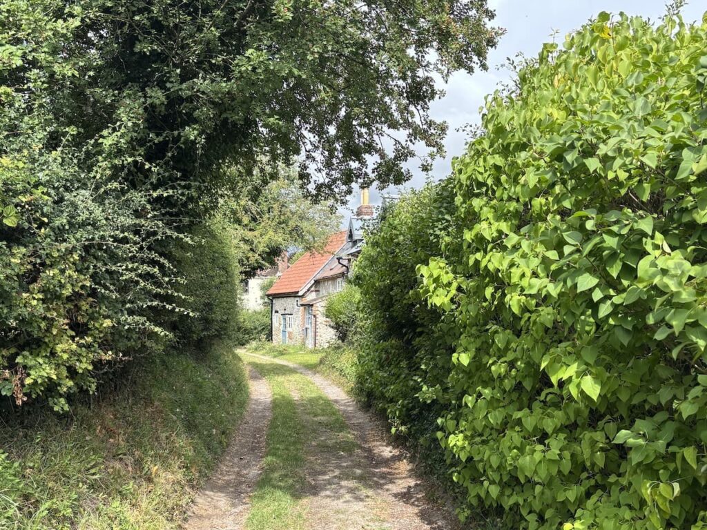
Nearing the village I go through a gate along a track and pass cottages.
On reaching a road I turn left and walk a short distance along the road and then keep going straight ahead on a track heading towards North Hill Farm.
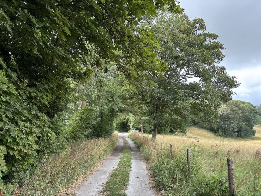
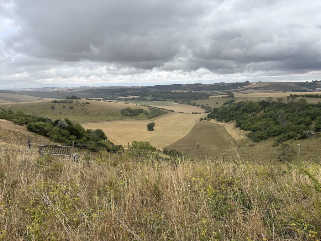
At a fork in the track I go left and then leave the farm driveway at a footpath sign on the left. The route now follows a grassy track heading steadily uphill towards a copse.
After passing the copse I take a path on the left. From here there are stunning views across the Ebble valley.
I follow the way markers to reach a gate and go through to enter a large pasture field which I cross heading towards the far right corner.
After going over a stile I am back on the Old Shaftesbury Drove. Here I turn left and make my way back to the start point 500 metres along the track.
To follow my walk you will need Ordnance Survey Explorer 118 – Shaftesbury & Cranborne Chase
You can view this 6.5 mile walk and download the GPX File on OS Maps (OS Maps subscription required)
25th July 2025
© Two Dogs and an Awning (2025)
All information on this site is provided free of charge and in good faith and no liability is accepted in respect of damage, loss or injury which might result from it. To the best of my knowledge the routes are entirely on public rights of way or within areas that are open for public access.
Walking can be hazardous and is done entirely at your own risk. It is your responsibility to check your route and navigate using a map and compass.