

In a few days time I will be leading a guided walk in the Pewsey Vale so today I will pre walk the route to ensure there are no unexpected hazards. It is an area I walk regularly but being a cautious character I prefer to check there will be no impediments to our walk.
The starting point is the free car park in the centre of Pewsey off Goddard Road (Grid Ref: SU162601). Leaving the car park I walk back to the A345, the main road through Pewsey. I turn left and follow the road to a mini roundabout then continue beside the A345, now North Street. I stay on the main road until reaching Buckleaze Lane on the right. This lane goes under a railway bridge.
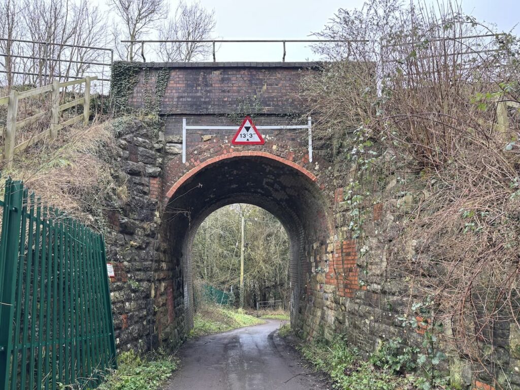
I then turn right walking parallel to the rail line before it becomes a footpath by an old mill.
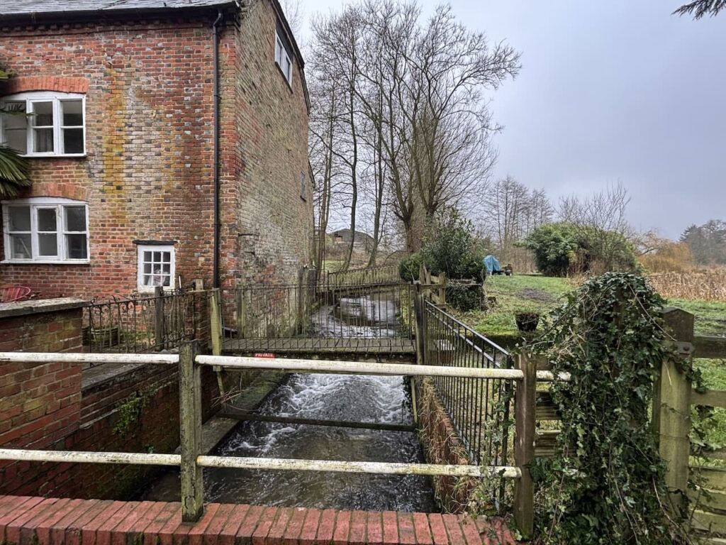
After crossing the River Avon I continue on the narrow path beside the railway line, when the path opens out I fork left keeping a fence to my left and soon pass gardens. Reaching a tarmac lane I continue to a junction and turn left to head north on a bridleway, this is the route of the White Horse Trail. The path heads downhill and crosses the River Avon.

Soon after I cross the Kennet and Avon Canal at Pains Bridge.
About 350 metres from the canal and just after passing the driveway to Inlands Farm I cross a stile on the left to follow the White Horse Way footpath across fields.
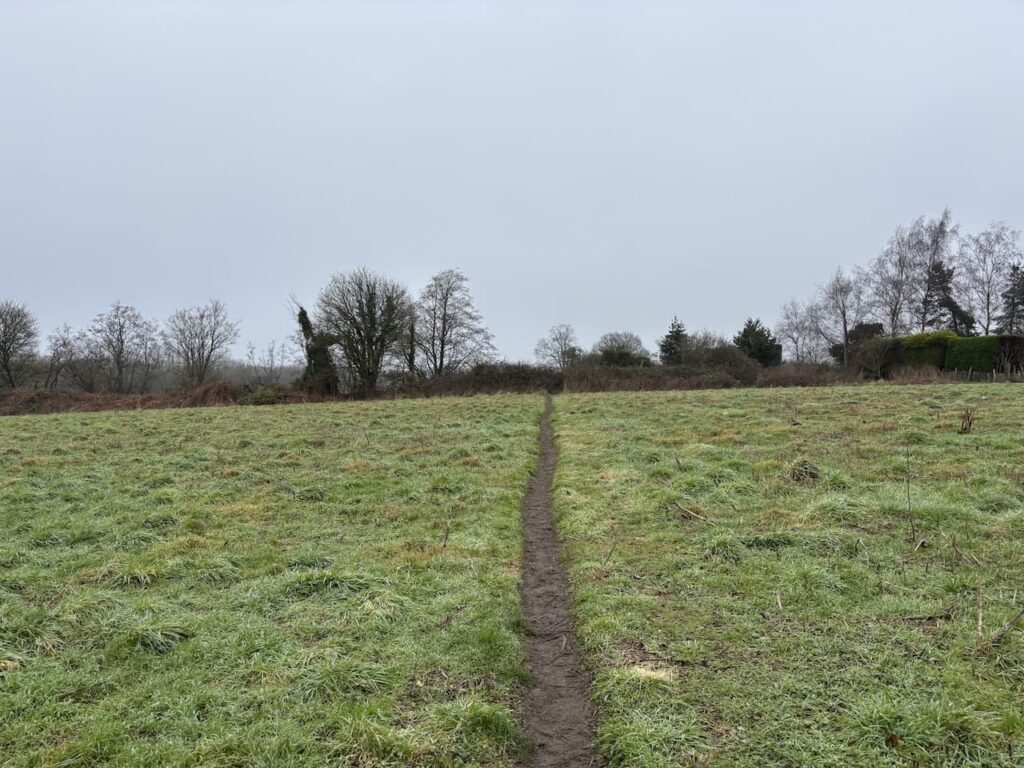
On reaching Sunnyhill Lane I cross and continue heading north on the White Horse Trail for another 300 metres then cross a stile on the left and head diagonally across a field to a stile in the north-east corner.

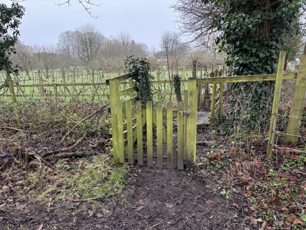
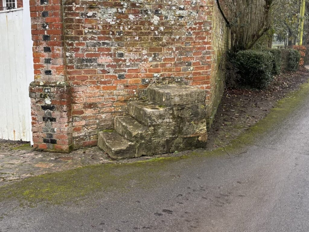
The path now goes through a paddock, about midway across I go through a gate on the left and follow a narrow path between gardens.
The path leads to the A345 which I cross with care to enter the church yard opposite to visit Holy Trinity Church. This church was built in 1858 with funds donated by Mrs M Goodman who lived at nearby Oare House, she was the widow of the Reverend Maurice Hillier Goodman who had been vicar at nearby Walcot.
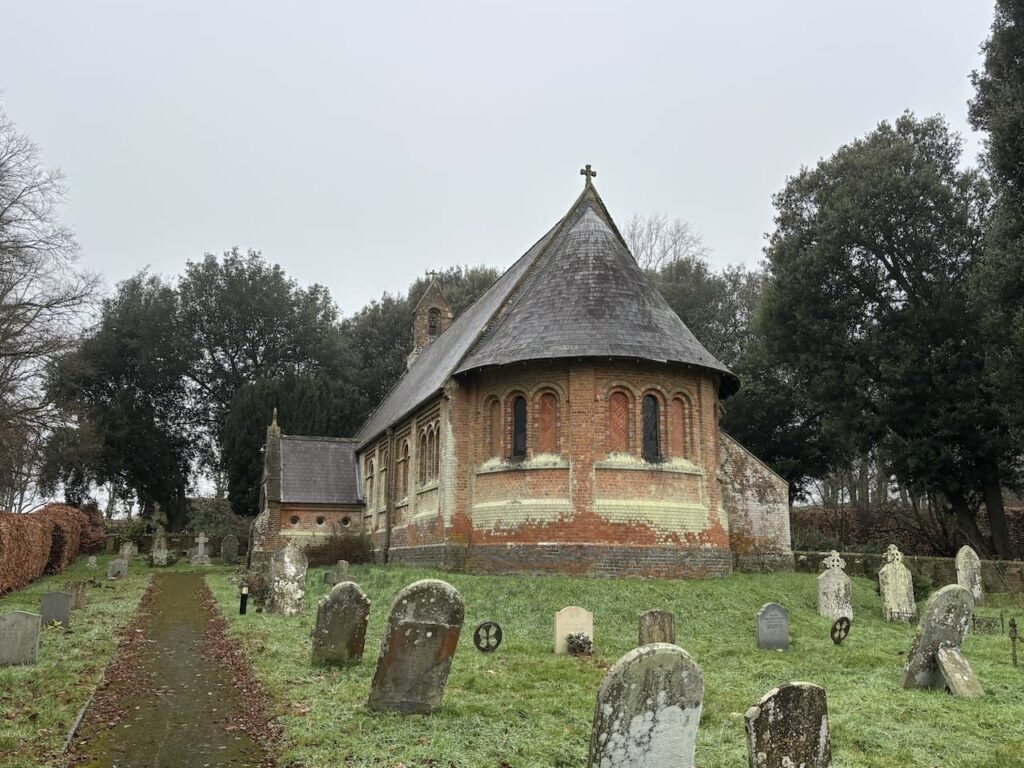
Designed by S.S. Teulson it initially served as a chapel of ease for Walcot but in 1892 it became a separate parish. It is built in a Romanesque style and has apparently been described by one commentator as the ugliest church in Wiltshire. I am not qualified to rank churches I have visited in the County in order of beauty, but feel sure I have been in some that are less easy on the eye.
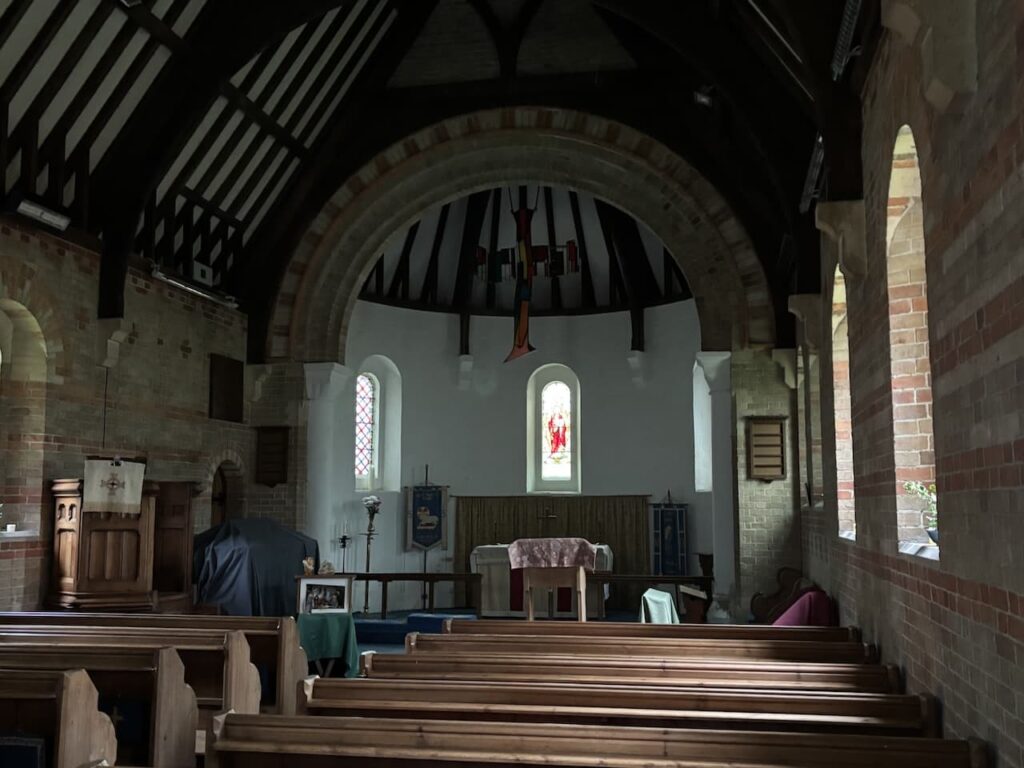
I leave the church through a gate close to the porch and turn right to follow the path to a minor road where I turn right and soon pass the entrance to Oare House. According to the Parish Council’s website the house was built in the 1740’s for a London wine merchant Henry Deacon. It was altered by the Goodman family in the the 1800’s, but by 1893 was in poor repair and sold.
After further changes in ownership it was purchased in 1920 by Sir Geoffrey Fry, private secretary to Bonor Law and Stanley Baldwin. Fry was also a director of J. S. Fry and Sons chocolate company. Between 1921-25 Fry commissioned Sir Bertram Clough William Ellis, the architect who created Portmeirion in North Wales, to redesign the property and add two new wings.
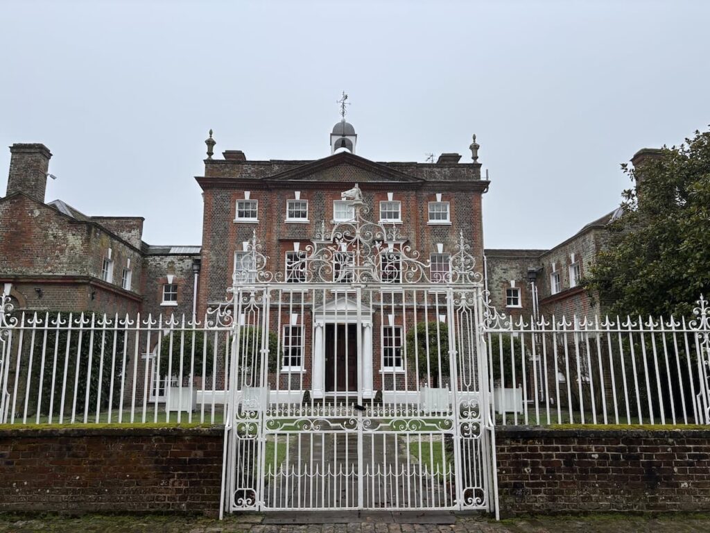
During World War II the house was used for secret meetings and in 1970 it was purchased by a former Australian High Commissioner, Alex Downer. In recent years the house and surrounding estate were owned by the businessman Sir Henry Keswick.
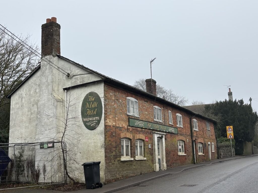
After passing Oare House I follow the minor road to reach the A345 and turn left going by the now closed White Hart pub. This was the village pub from 1795 until 2014, during that time it was known by various names; The Green Man, 1795-1823, The Mompession Arms 1823-1889, and then The White Hart from 1889 until the present day.
Since its closure the pub has been up for sale, part of the site has been sold for development and realistically it is unlikely that it will now ever reopen to be a focal point for the community. Such a sad loss.
Soon after passing the pub I take a lane on the left leading past the school and then turn right to follow a footpath heading steadily uphill on the edge of a field, I am on the Mid Wilts Way.
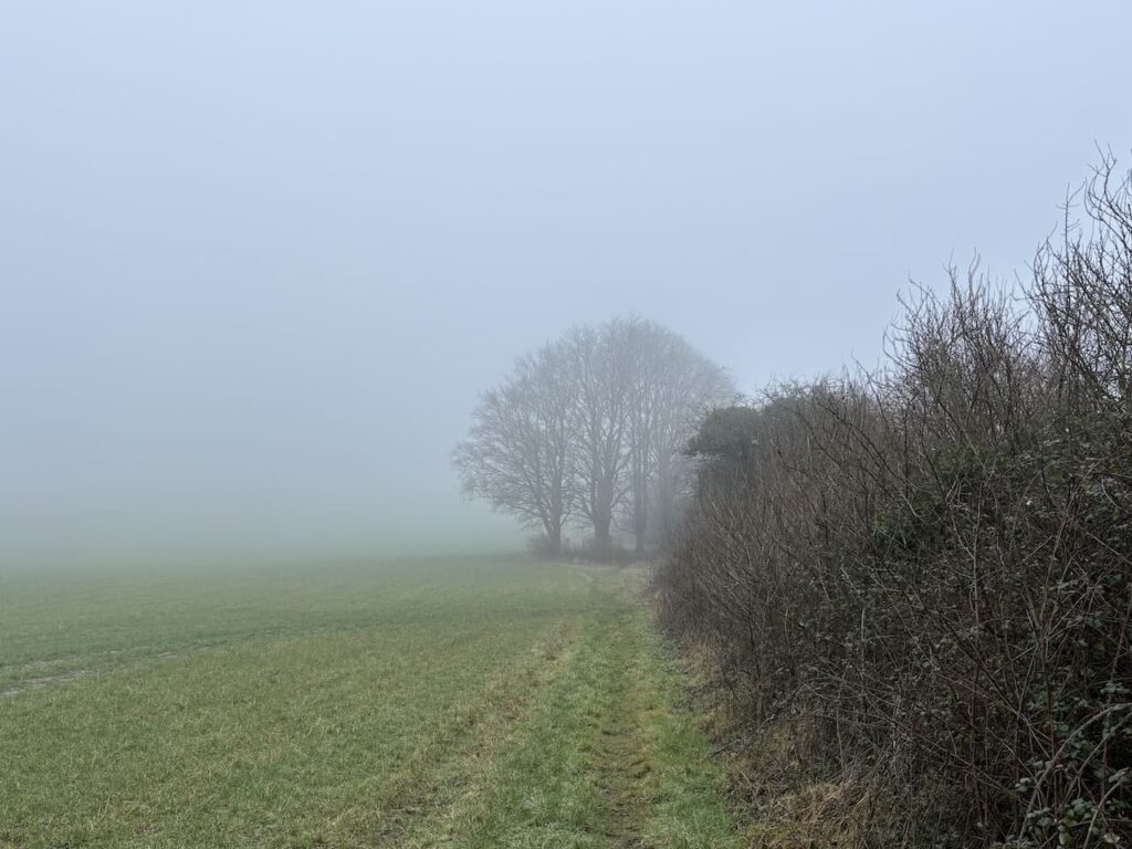
After going through a gate there is a steep ascent of Huish Hill and I am pleased to reach a bench. I had anticipated stopping here for some refreshment whilst enjoying the view. However, low cloud means there is poor visibility and I have to imagine the stunning view across the Vale of Pewsey that I know you get from this spot.
Keeping the fence line to my right I continue up the hill and join a path skirting the edge of a property and then on joining a track I turn right to head east towards the A345.

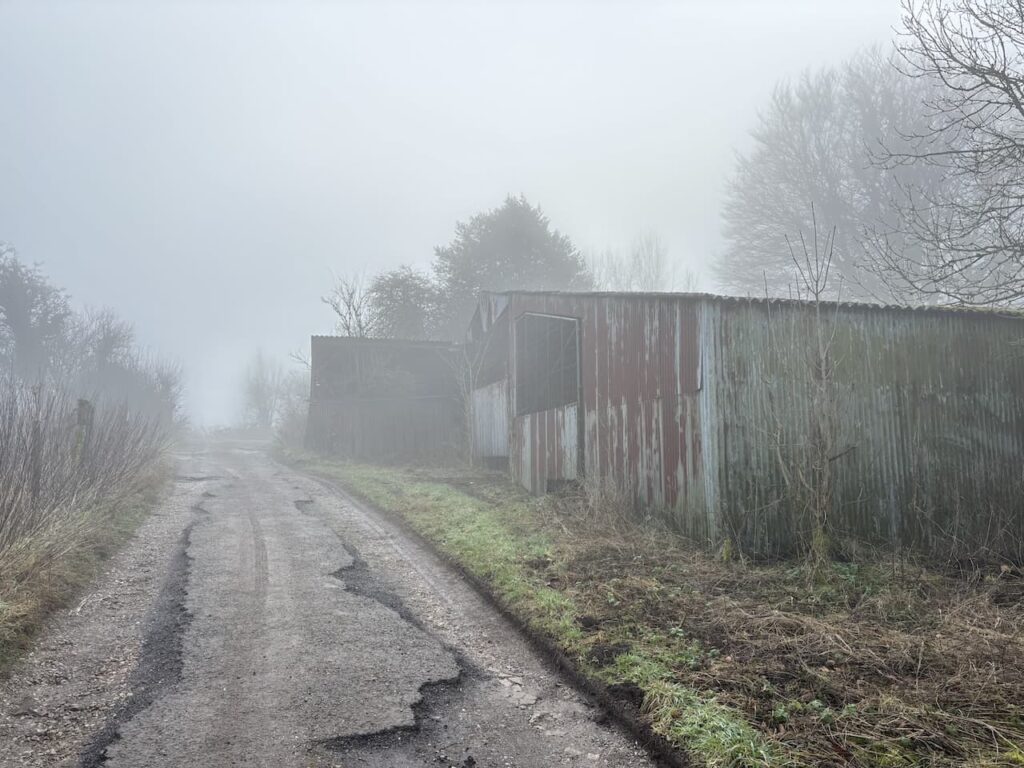
I carefully cross the main road, there is not great visibility so extra caution is needed. Safely on the far side I continue on the track, passing redundant farm buildings and then head along the top of the ridge.
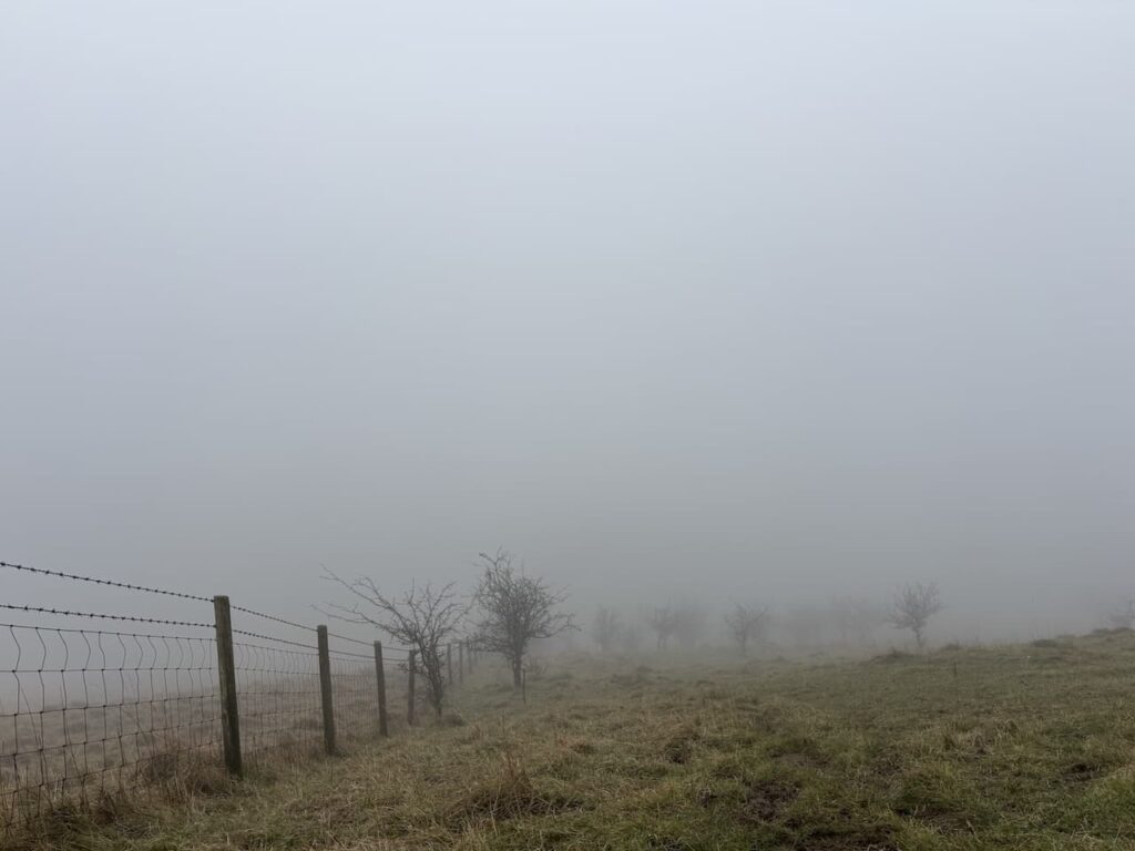
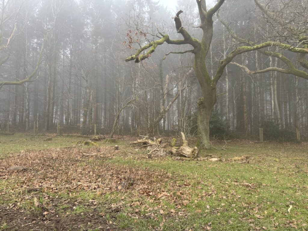
On reaching a gate I go to the left, it is a bit confusing here because initially it looks as if the footpath is along a sunken track, that is extremely boggy but I notice that the path actually goes along the wide edge of the field to the right of the band of trees. This is a well used route and I follow the path to reach the Open Access area of Martinsell Hill. Usually there are stunning views but today I can’t see a thing so I don’t linger.
I head east across the access land to reach a gate and stile and go through this towards a minor road.

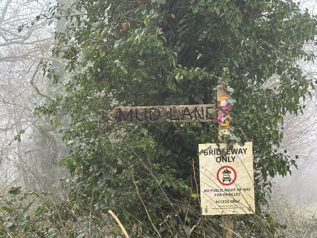
Crossing the road I join Mud Lane, it soon becomes very obvious why it has this name. But after an initial very muddy patch the route becomes firmer as it passes woodland.
After 600 metres I ignore a crossing of paths and continue for a further 800 metres to reach a path on the right which I take and follow it around the edge of a field to a broad grassy track heading into Wootton Rivers.
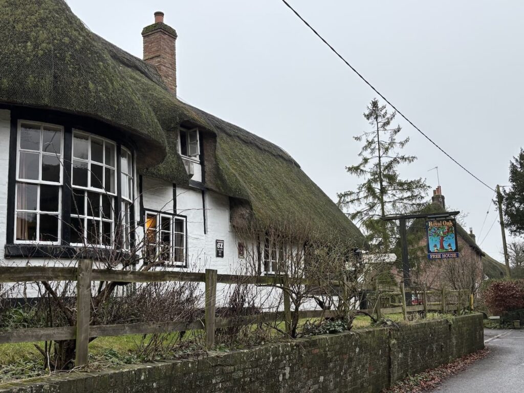
In the village I join the road and head south to pass the attractive thatched Royal Oak pub.
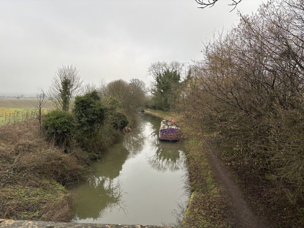
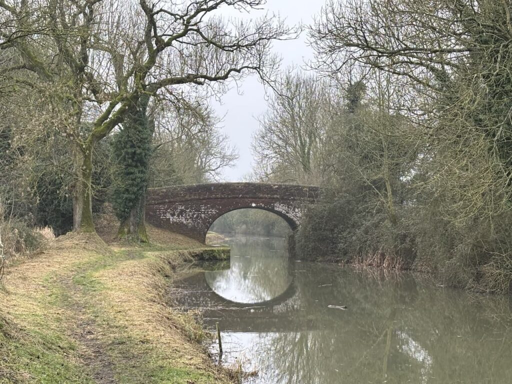
I stay with the road until I reach the Kennet and Avon Canal. After pausing to look at the lock beside the bridge I join the tow path on the right side of the bridge.
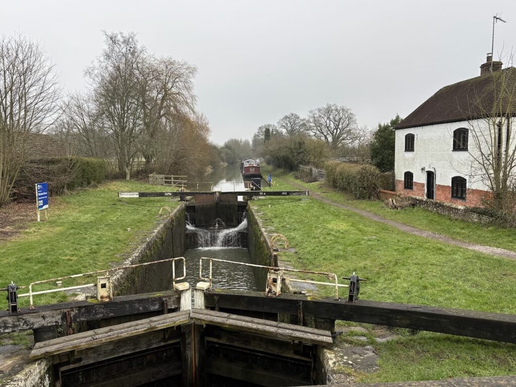
I am now heading towards Pewsey with the canal to my right. This canal was built by the surveyor John Rennie to link the River Thames at Reading with the River Avon in Bristol. Work started on the 87 mile route in 1794 but it was not fully opened until 1810. It thrived until 1841 when the Great Western Railway line was constructed running parallel to the canal. It fell into decline and by the 1950’s large parts were derelict due to poor locks and a breach in the bank at Avoncliff Aqueduct. Fortunately a team of committed volunteers fought to save the canal and raise funds for its restoration and work started in 1966, it was a further twenty-four years before it re-opened in 1990.
It is a cracking stretch of canal to walk along. I stop to chat to a couple of people moored up in their barge. They tell me they have been watching a Kingfisher and sure enough right on cue one appears, a truly magnificent sight. It moves so quick then perches in a tree but is too far away to get a decent photo.
The low cloud that has accompanied most of my walk is starting to lift and I get a good view of Martinsell Hill away to my right.

After 3.3km along the canal I reach a gate on the left leading into the Jones’s Mill Nature Reserve. This is a Wiltshire Wildlife Reserve with some of the land being donated by local resident Vera Jeans in 1980. It is thought there was once a mill on the site but it has been a water meadow for many years and still has some ancient ridge and furrow fields. It is a cracking spot and is a great example of why such wildlife projects are important in enhancing biodiversity.
Keeping the fence line to my left I pass through the reserve and leave by a gate that takes me on a path to The Mill House, here I join a minor road, Dresden Lane. After 300 metres on the lane I take a path on the right going along the edge of a field towards Pewsey. At the end of the field I turn left to join Hollybush Lane and follow this to a junction with Milton Road where I turn right and walk into the centre of the village and return to my starting point.
It has bene a cracking eleven mile walk, hopefully when I take my walking group out in a few days time it will be a clear day and we can appreciate the stunning views the route offers.
To follow this walk you will need Ordnance Survey OS Explorer – 157 – Marlborough & Savernake Forest
You can view this walk on OS Maps and download the GPX File Here (Subscription to OS Maps Required)
15th January 2025
© Two Dogs and an Awning (2025)
All information on this site is provided free of charge and in good faith and no liability is accepted in respect of damage, loss or injury which might result from it. To the best of my knowledge the routes are entirely on public rights of way or within areas that are open for public access.
Walking can be hazardous and is done entirely at your own risk. It is your responsibility to check your route and navigate using a map and compass.