

There are some spots in Wiltshire with stunning views that are always worth a return visit. Usually because they offer rolling expansive vistas across the surrounding countryside. One such place is Martinsell Hill where on a clear day there are fabulous views across the Vale of Pewsey. Today’s forecast predicts clear skies so I am off with my walking buddy Mandy to do a variation on a walk I’ve previously done from Pewsey.
Our starting point is the free car park in the centre of Pewsey off Goddard Road (Grid Ref: SU162601; What3Words ///brink.round.culling). Leaving the car park we walk back to the A345, the main road through Pewsey. We turn left and follow the road to a mini roundabout then continue beside the A345, now North Street. We stay on the main road until we reach Buckleaze Lane on the right. This lane goes under a railway bridge and then turns right to run parallel to the line before becoming a footpath by an old mill.

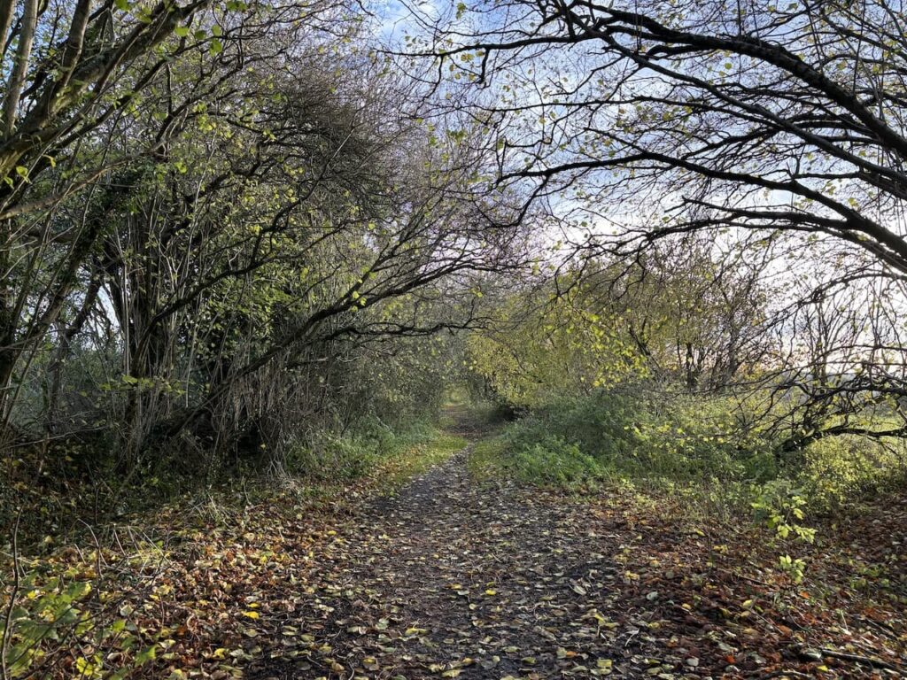
After crossing the River Avon we continue on the narrow path alongside the railway line, when the path opens out we fork left keeping a fence on our left and soon pass gardens. Reaching a tarmac lane we continue to a junction and turn left to head north on a bridleway, this is the route of the White Horse Trail. The path heads downhill and crosses the River Avon.
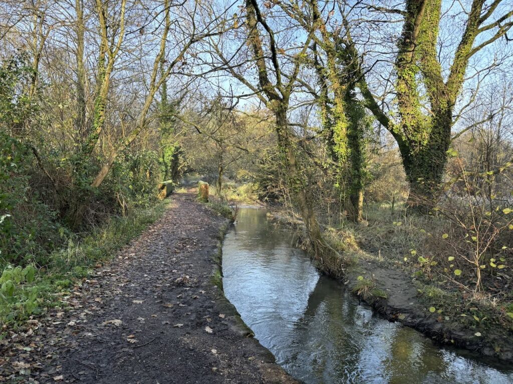
Soon after we cross the Kennet and Avon Canal at Pains Bridge.
From the canal we keep straight on along a track heading north.
About 350 metres from the canal, and just after passing the driveway to Inlands Farm, we cross a stile on the left to follow the White Horse Way footpath across fields.
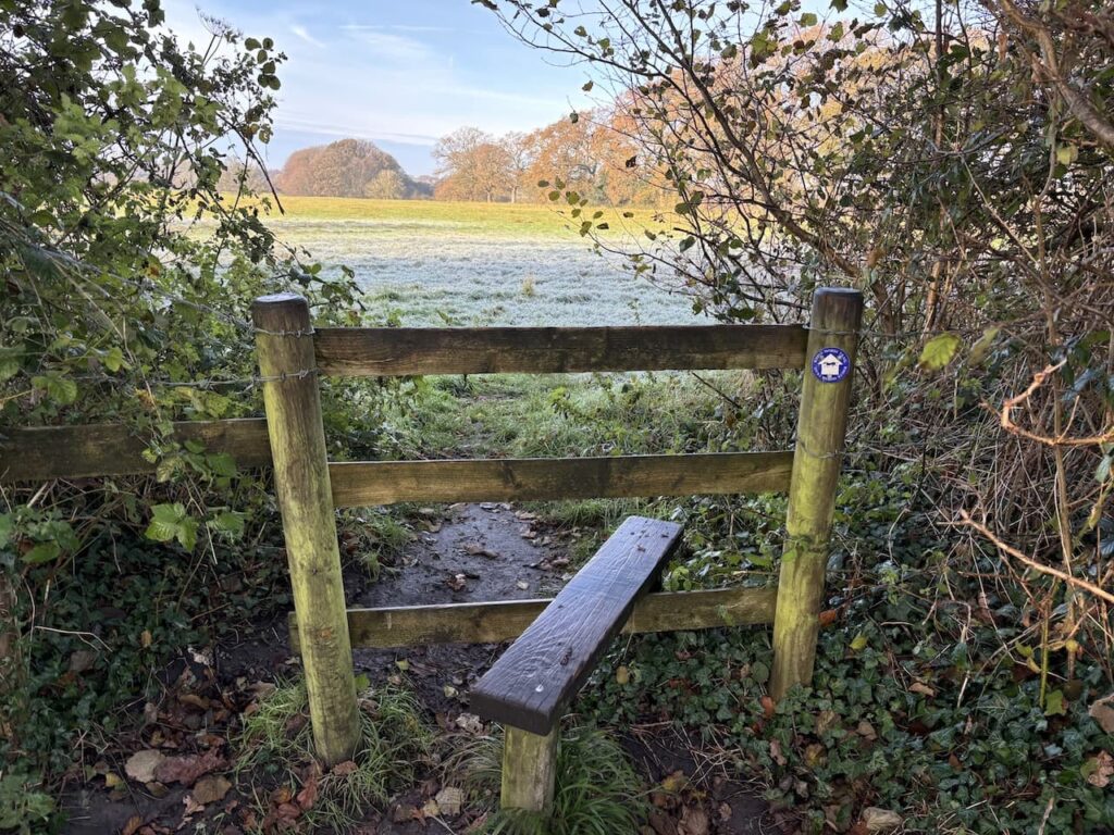
On reaching Sunnyhill Lane we cross and continue heading north on the White Horse Trail along the left hand edge of a field.
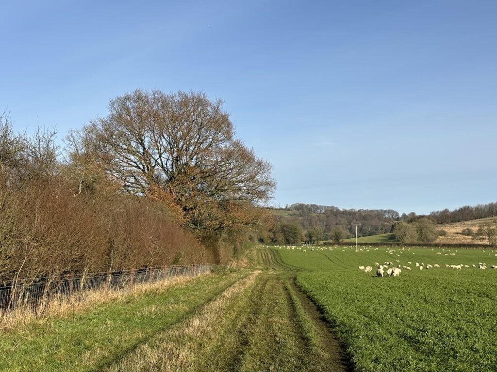
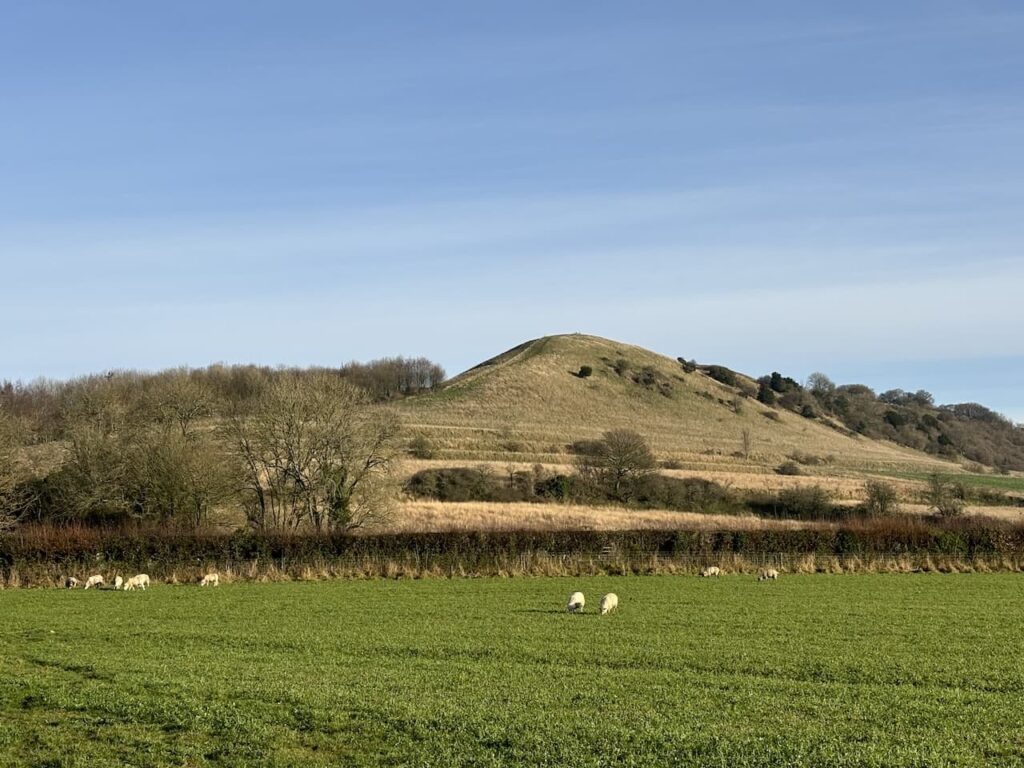
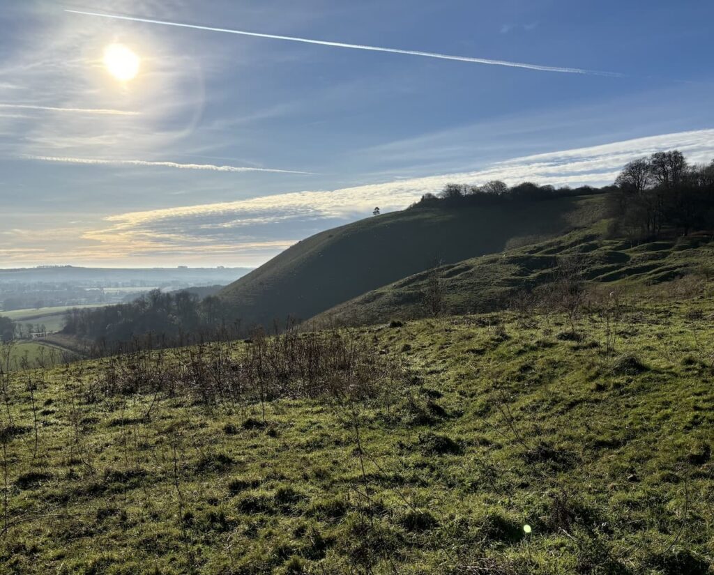
In front of us to our right is Giant’s Grave on Milton Hill and we will soon be facing the steep ascent.
After crossing a lane we head across a field with the village of Oare to our left with Huish Hill behind it. We comment on the field being flooded but strangely don’t equate it to any issues we might face later in our walk.
It is a stiff ascent of the hill but the views behind us along the Vale of Pewsey make it worthwhile.
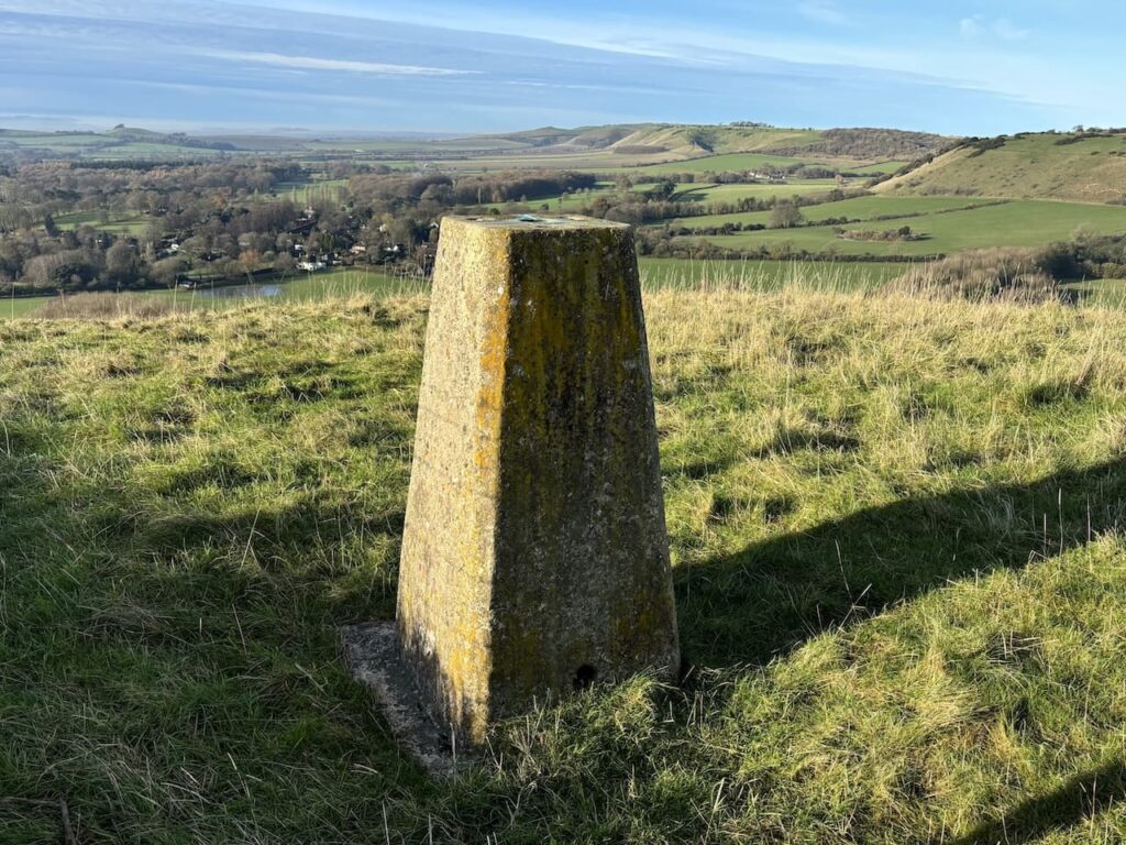
At the top of the hill, just over the fence is an Ordnance Survey Trig Pillar, I’ve bagged this trig on numerous occasions but it is still worth stopping to admire the view.
We now pass the Giant’s Grave, this is a long barrow that was a communal burial place during the Early and Middle Neolithic periods 3400-2400 BC.
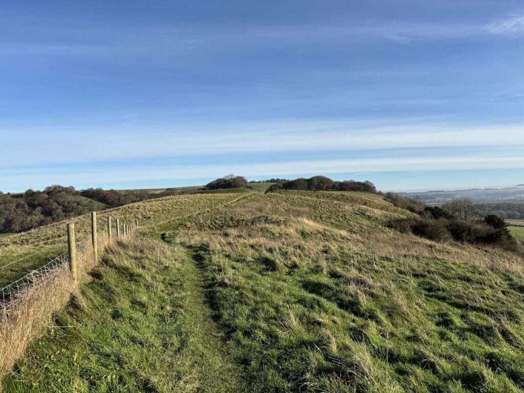
We cross a stile and then reach a gate where the path splits three ways. We go straight ahead into the field with the fence line to our right, following the way marker for the Mid Wilts Way.
The Mid Wilts Way is a long distance 68 mile route crossing Wiltshire from Ham in the north near the border with Berkshire and Mere near the border with Somerset. It is a walk I have often thought of completing over a few days, however, over the years I have covered much of it whilst walking in the county.
This section takes us along the edge of a ridge and then over a stile to enter woodland before emerging on to Martinsell Hill.
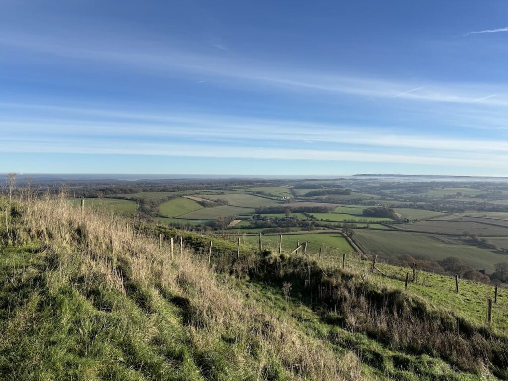
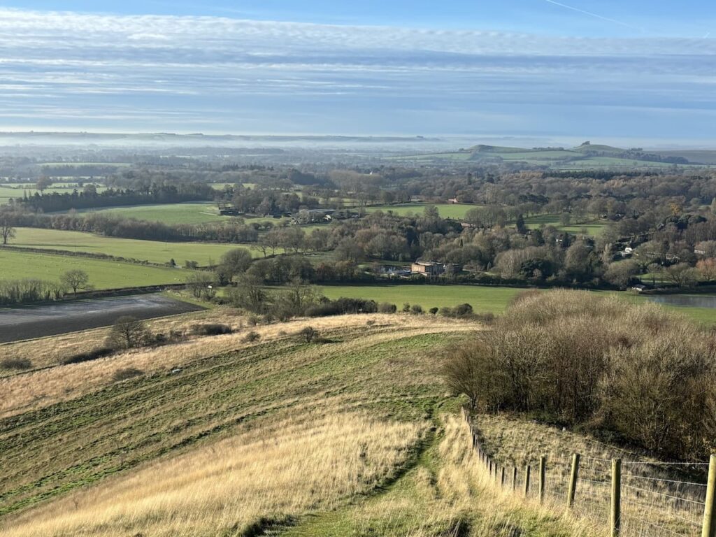
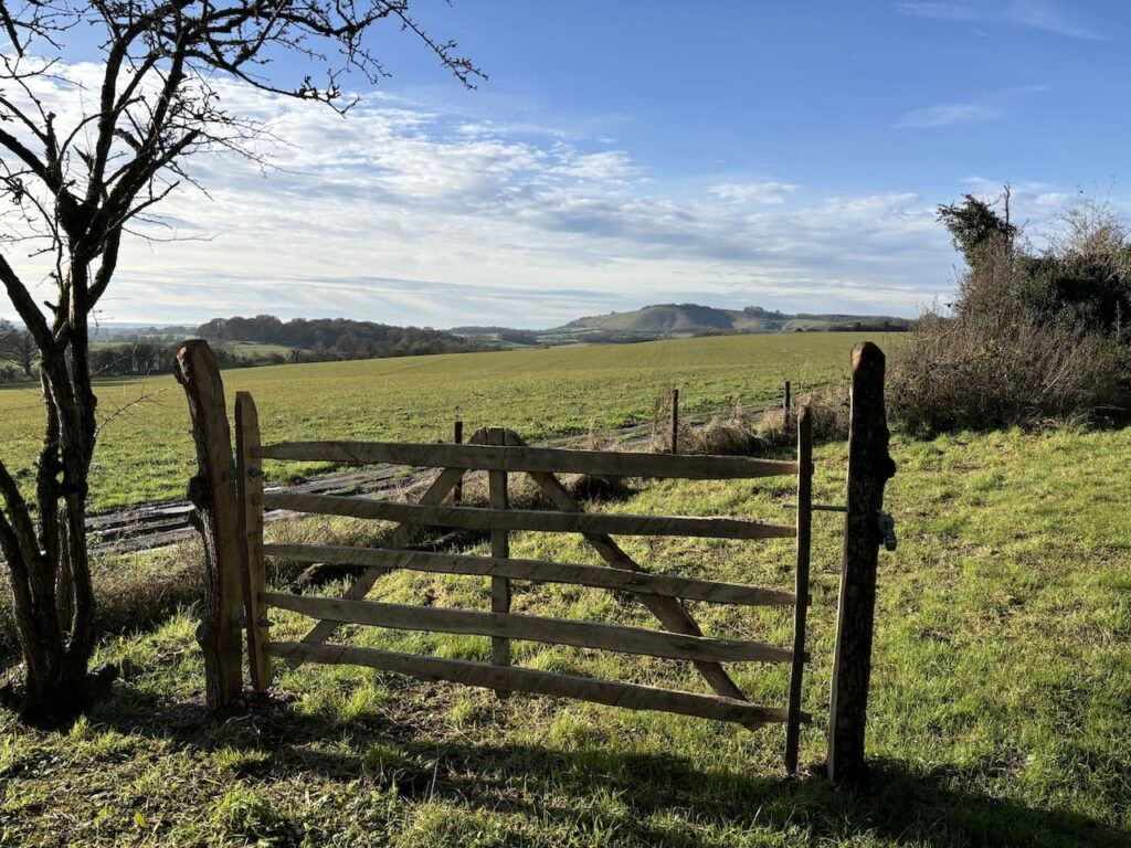
Martinsell is the third highest point in Wiltshire and is the site of a large Iron Age Hillfort which covered 32 acres. Looking at the views and the steep sides it is clear why it was chosen.
We now head east through the open access land towards a car park by a minor road. Looking back at the hill you get a real perspective of how challenging it would have been to mount an attack from the south.
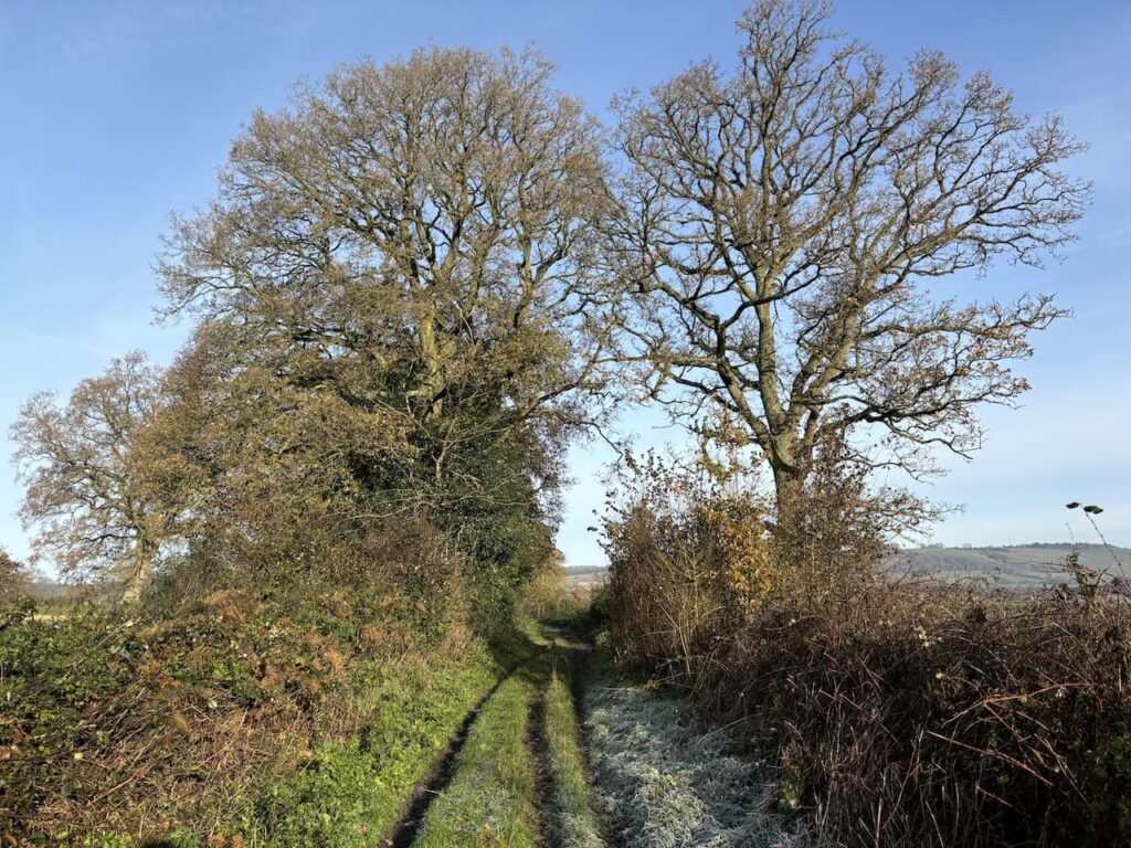
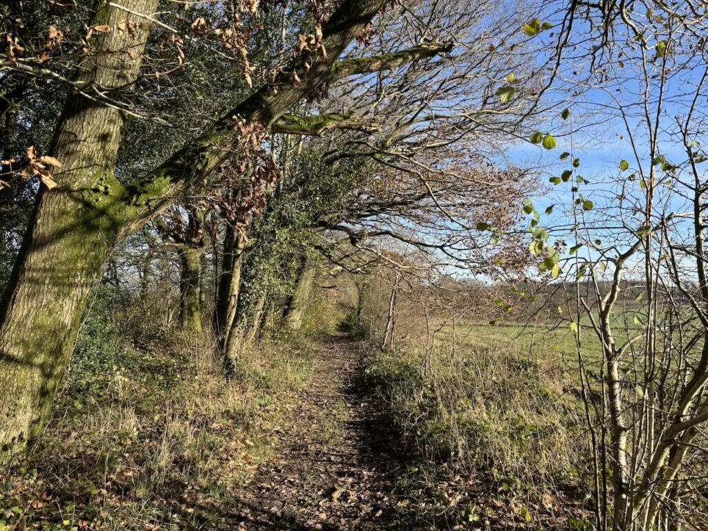
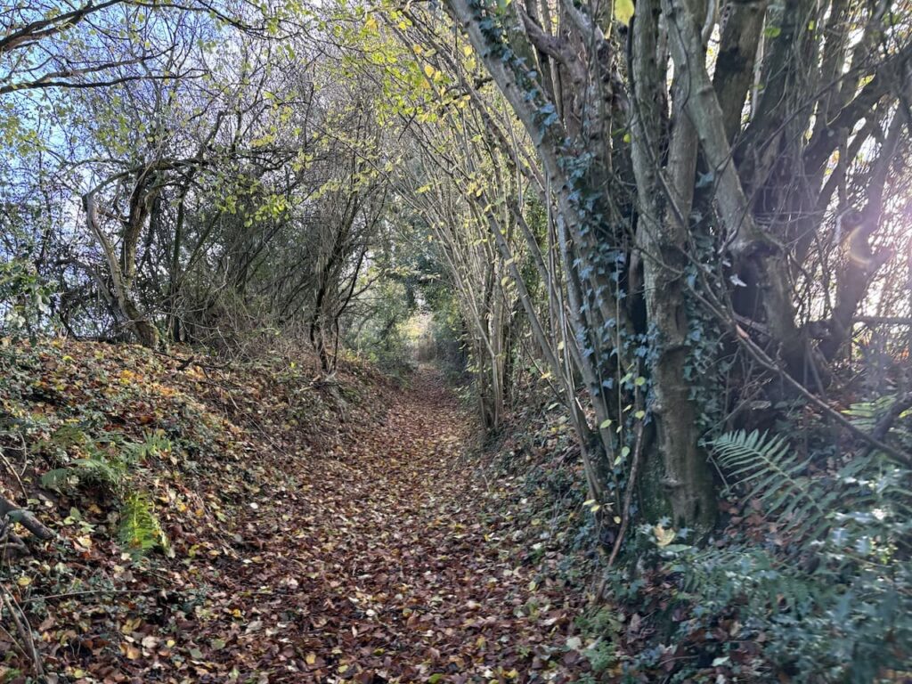
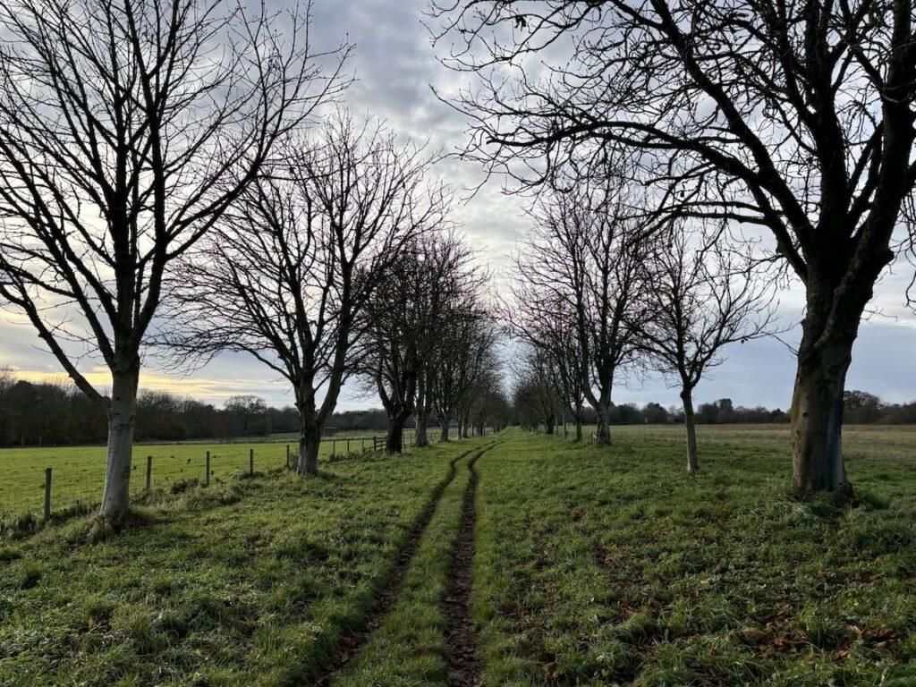
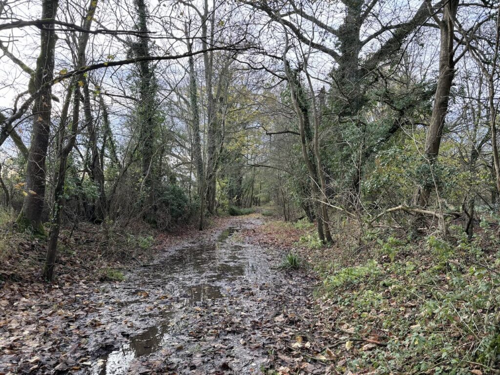
After passing through a parking area we cross the minor road and continue straight on along Mud Lane, following recent wet weather it is very obvious why it has this name. But after an initial very muddy patch the route becomes firmer as it passes alongside woodland.
We stay on this lane for just over 3km to reach a minor road,nearing the road we see a commemorative plaque to Al Bowlly (1899-1941) the vocalist and crooner who was particularly popular in the 1930’s. Apparently he loved the view and it is easy to see why.
At the minor road we turn right and walk down the hill for just over two hundred metres and then as the road bends to the right we keep straight on along a track heading south towards the Kennet and Avon Canal.
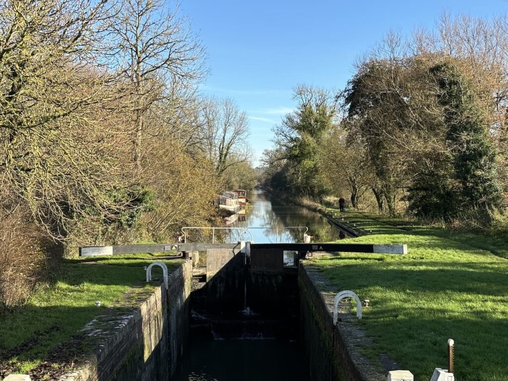
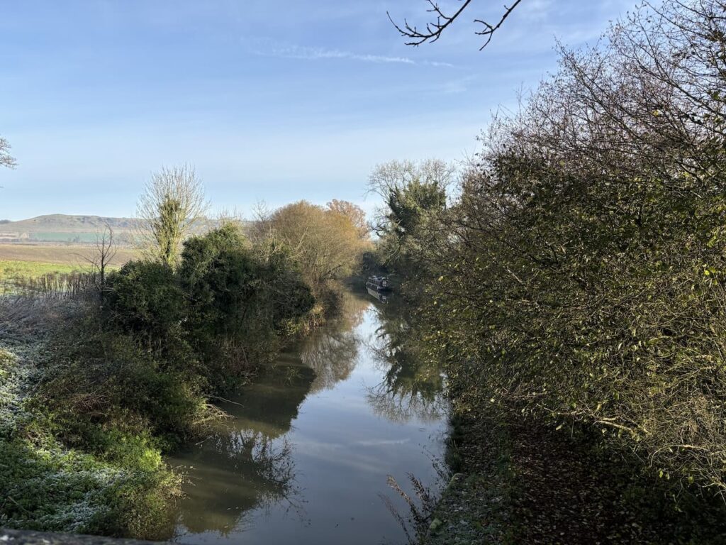
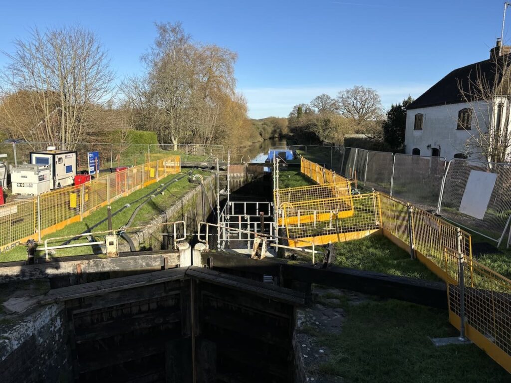
After crossing the canal we turn right to join the towpath heading west with the canal to our right.
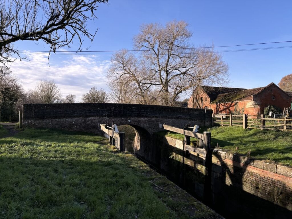
This canal was built by the surveyor John Rennie to link the River Thames at Reading with the River Avon in Bristol. Work started on the 87 mile route in 1794 but it was not fully opened until 1810. It thrived until 1841 and then with the construction of the Great Western Railway line, which runs parallel, the canal fell into decline and by the 1950’s large parts were derelict due to poor locks and a breach in the bank at Avoncliff Aqueduct. Fortunately a team of committed volunteers fought to save the canal and raise funds for its restoration which started in 1966, it was a further thirty-four years before it re-opened in 1990.
Currently there is some maintenance work being done to locks along this section to ensure the canal continues to be navigable.
After 2.2km beside the canal we reach Wootton Rivers and leave the towpath to join a minor road where we turn left and then after 150km we turn right on the road and walk through the hamlet of Cuckoo’s Knob.
Soon after passing the last dwelling the road swings to the right but we keep straight ahead along a track.
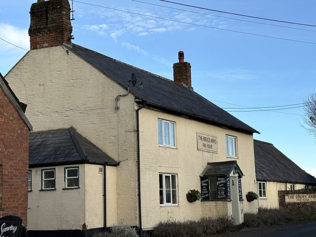
We stay with this track until we reach the B3087 at the Bruce Arms.
After crossing the road we continue along the broad track still heading south.
We go straight on at the first crossing of paths continuing for a further 250 metres to another junction of paths, this time we turn right along a tree-lined route towards Milton Lilbourne.
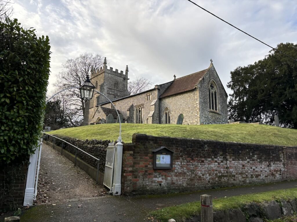
In the village we turn right, quickly reaching St Peter’s Church. Parts of this church date to the 13th, 14th and 15th century. In the 19th century many churches were restored and this one is no exception with work being undertaken in 1875.
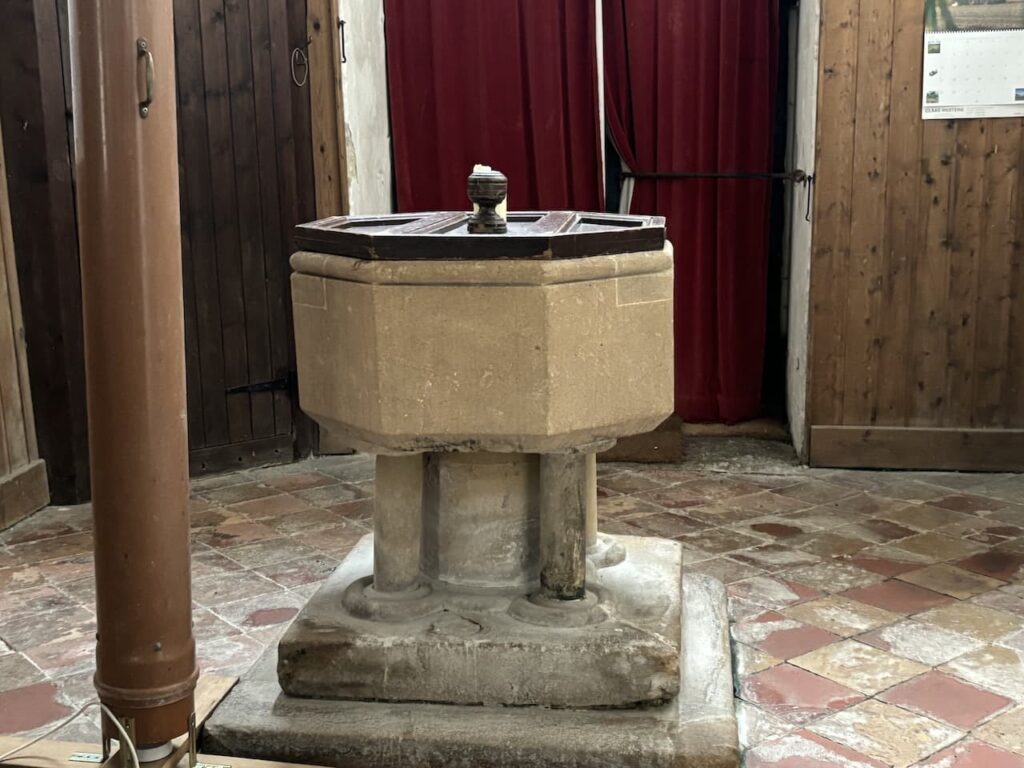
The font is an octagonal 19th century bowl, on a 13th century five-columned base.
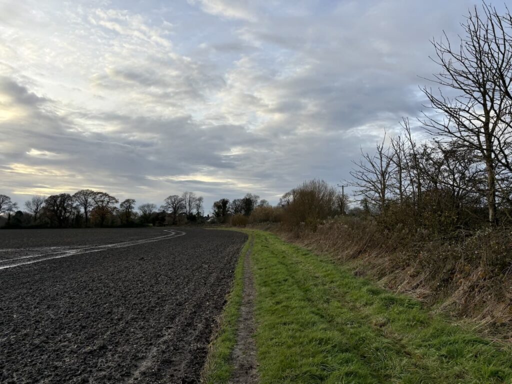
Leaving the church by the main gate we turn right and walk south through the village for 500 metres to reach a track way marker to Fyfield Drove, the map shows this track as Clay Lane. We start along it and realise it is partially flooded, just about passable but it takes some careful plotting to find spots where the water will not come over our walking boots.
At a crossing of tracks we go straight on and follow the path along the edge of a field with a stream on our right.
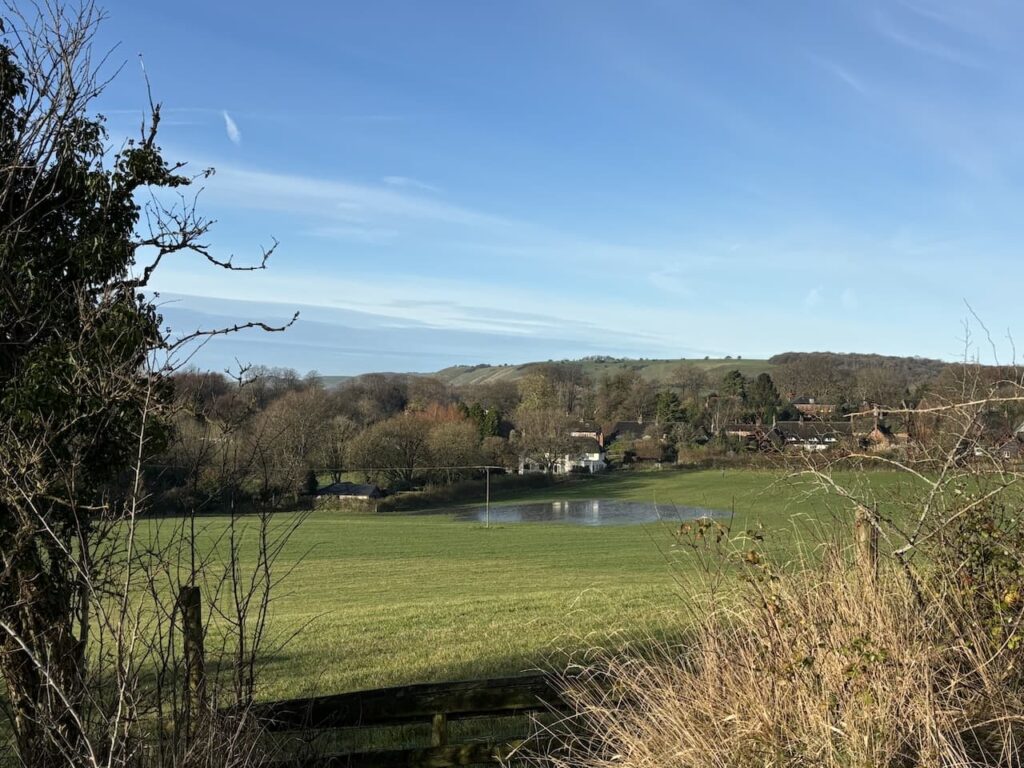
We stay with the path until it reaches a footbridge over the stream and then follow the path as it leads into the edge of Pewsey.
We follow the path to reach Southcott Road and then turn right and very soon left to follow a lane which passes the village football field and continues along a path into the centre of the village.

At the end of the path we reach the River Avon and turn right alongside and then return to our start point.
To follow this walk you will need Ordnance Survey OS Explorer – 157 – Marlborough & Savernake Forest
You can view this walk on OS Maps and download the GPX File Here (Subscription to OS Maps Required)
28th November 2024
© Two Dogs and an Awning (2024)
All information on this site is provided free of charge and in good faith and no liability is accepted in respect of damage, loss or injury which might result from it. To the best of my knowledge the routes are entirely on public rights of way or within areas that are open for public access.
Walking can be hazardous and is done entirely at your own risk. It is your responsibility to check your route and navigate using a map and compass.